
Why Are Flood Warnings Expanding? The Case of Paju and Pocheon


The main reason flood warnings are expanding is that rain clouds aren't staying in one place but stretching out over a wider area, causing both observed and predicted rainfall to rise simultaneously. Pocheon's inclusion follows the same pattern. When strong rain bands move or linger in northern Gyeonggi Province, neighboring areas often get included in the warning zone.
In other words, meteorologists don't just look at individual cities but consider the shape of the rainy band, its speed of movement, and potential for further development. So when Pocheon joins the list after Gangneung, Paju, and Cheorwon, it may seem sudden to residents—but it's simply because the Korea Meteorological Administration is expanding the warning area to cover a broader risk zone.
Why Flood Warning Areas Expand
Flood warnings are issued when heavy rain is expected within a short period. Since rain clouds often don't align with administrative boundaries, a storm starting in one city can quickly spread to adjacent areas, rapidly expanding the warning zone.
This is especially common during rainy season or under strong low-pressure systems, when rain bands form long, linear patterns. While one observation point might suggest light rain, radar data may already show a connected heavy rainfall area across surrounding regions.
For example, if morning rains hit Gangneung and Paju, by afternoon the storm might shift east or south, bringing Pocheon into the warning zone. Conversely, Pocheon might be included first, followed later by Cheorwon or other border areas.
You can find similar articles on this topic in one place.
View Related ArticlesWhy Pocheon Is Included in Warnings
Pocheon, located in northern Gyeonggi Province, is affected by local terrain. When rain clouds move with northwesterly or southwesterly winds, rainfall can intensify. The surrounding mountains sometimes cause the clouds to linger without weakening.
Another key factor is the speed of movement. If rain clouds pass quickly, damage may be minimal, but if they linger in one spot or move slowly, heavy rain can fall rapidly within a short time—making Pocheon's inclusion more understandable during such events.
Radar shows the storm center shifting slightly every hour or so, which can feel like a major change when viewed against administrative boundaries. This is why people often ask, "Why was it safe yesterday but now expanded today?"
The Pattern: Gangneung-Paju-Cheorwon-Then Pocheon
Gangneung, Paju, and Cheorwon are geographically close and often share similar weather patterns. When Pocheon joins this group, it forms a single rain band covering the entire northern border area.
This pattern typically occurs when clouds move from west to northeast or when convergence zones around low-pressure systems form long lines. While rainfall intensity may vary slightly by location, risk assessments are made across broader areas first.
In practice, you often see "Gangneung-Paju-Cheorwon-Then Pocheon" listed together—not as a simple name sequence but because the weather conditions are interconnected. If one area isn't clearly at risk, surrounding regions get included to cover potential threats.
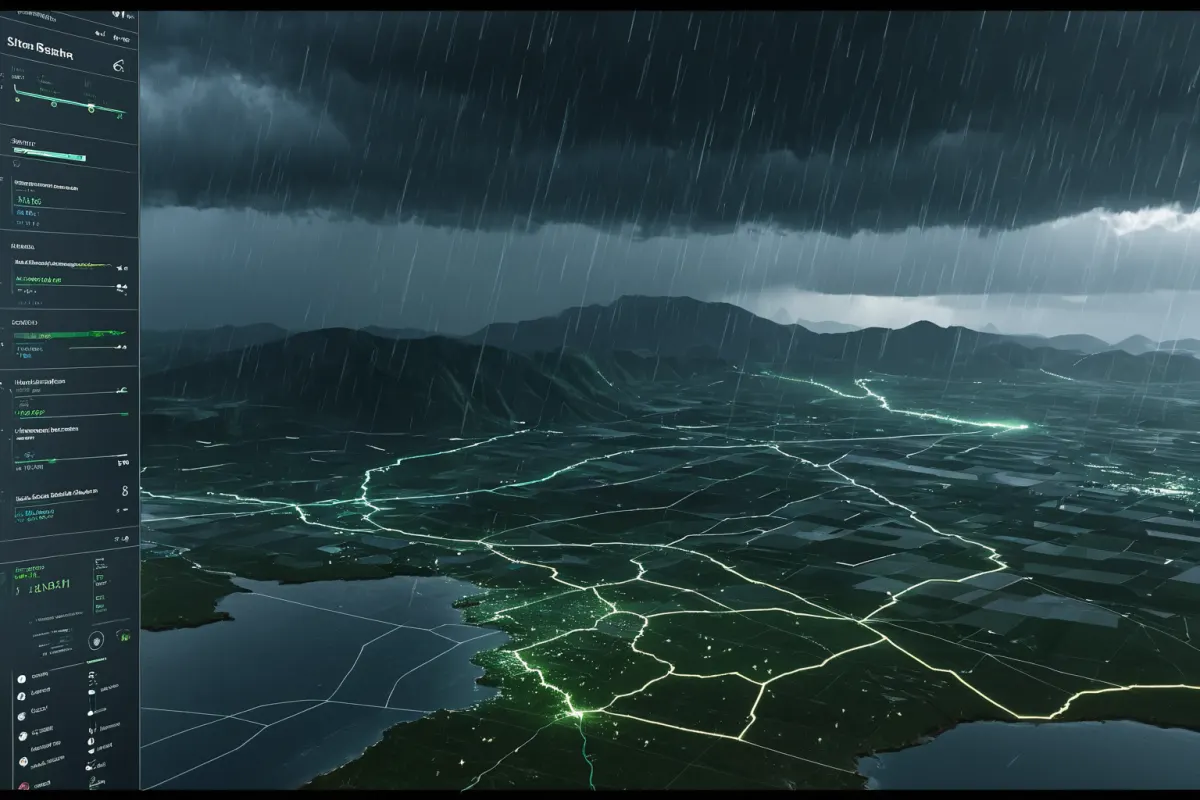
Why Expanded Warnings Cause Confusion
The biggest confusion is when people think, "Our neighborhood gets light rain, so why are we included?" But flood warnings aren't based solely on current rainfall—they also factor in the likelihood of heavy rain within a short time.
Another reason for confusion is varying perceptions. Within the same city, low-lying areas, mountainous regions, urban centers, and outskirts can experience very different levels of rain impact. One area might flood quickly while another just gets wet—making the expanded warning seem excessive.
This leads to debates about whether warnings are overly broad. However, for disaster response, it's safer to err on the side of caution, so actual implementations tend to be conservative.
Key Indicators to Check When Rain Begins
If a flood warning is issued, check not just current rainfall but also forecasts for the next 1-3 hours. Even if rain seems light now, heavy rain in upstream or neighboring areas could affect you soon.
Next, identify vulnerable drainage zones: underpasses, roads near rivers, landslide-prone areas, and neighborhoods around basements can become dangerous even during short downpours.
For example, commuters in Pocheon should avoid bridges and low-lying alleys they usually pass through. If driving is necessary, consider bypassing riverfront roads for safety.
At home, check balcony drains and window gaps beforehand, and adjust or cancel outdoor plans if needed—especially since rain clouds often intensify in the evening.
Why Perceptions Vary by Area
Flood warnings don't mean all areas under them face equal risk. Even within Pocheon, mountainous vs. flat terrain, riverfront vs. urban zones can experience different types of damage.
Same rainfall amounts can lead to different outcomes depending on drainage systems, soil conditions, and recent precipitation. If the ground is already saturated from previous rain, even a little more can cause flooding or landslides.
This means when reviewing expanded warning areas, it's better to focus on whether your location is low-lying or prone to recurring floods rather than just which city is listed.
Key Response Tips for Real Situations
If rain suddenly intensifies, avoid entering underground spaces. Especially in parking lots without pumps or basement-level areas, water can rise quickly even within a short time.
While driving, don't underestimate puddle depths. Just because the road surface is visible doesn't mean it's safe—underwater roads or cars starting to float can lead to serious accidents.
Nighttime brings reduced visibility and higher risks. In areas like Pocheon with outer roads, extra caution is needed around steep slopes and drainage zones.
FAQ
Q1. Why do flood warning areas change frequently?
Rain clouds move and redevelop. Since forecasts prioritize potential future changes over current observations, warning areas can expand or shrink quickly.
Q2. Does Pocheon being included mean major damage will occur?
No. It simply means there's a higher risk of heavy rain leading to flooding. Actual impact depends on local terrain and prior rainfall levels.
Q3. Is it more dangerous when Gangneung, Paju, Cheorwon are all listed together?
It indicates a widespread rain band covering multiple areas. Since these regions share the same weather pattern, monitoring both intensity and direction of rain movement is key.
Weather conditions change rapidly, so regularly check issued times and area coverage when rain continues.
Continue exploring similar topics.
Browse CategoryFAQ
Q1. Why do flood warning areas change frequently?
Rain clouds move and redevelop. Since forecasts prioritize potential future changes over current observations, warning areas can expand or shrink quickly.
Q2. Does Pocheon being included mean major damage will occur?
No. It simply means there's a higher risk of heavy rain leading to flooding. Actual impact depends on local terrain and prior rainfall levels.
Q3. Is it more dangerous when Gangneung, Paju, Cheorwon are all listed together?
It indicates a widespread rain band covering multiple areas. Since these regions share the same weather pattern, monitoring both intensity and direction of rain movement is key.
Korean Source
This article is an English localization of a Korean-language report from BlogScore. Original: 호우주의보 지역이 늘어나는 이유, 포천까지 포함된 배경