
Understanding Typhoon No. 15's Path and Movement: A Guide for International Readers
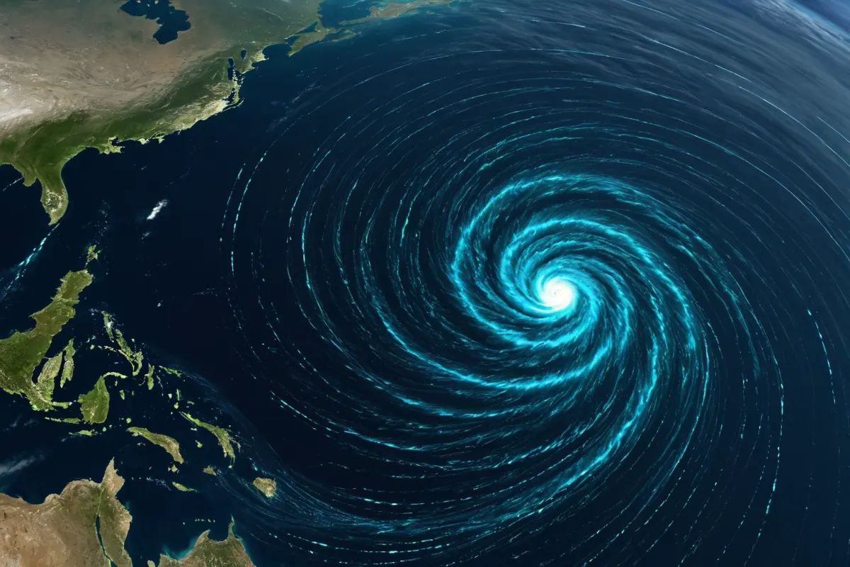
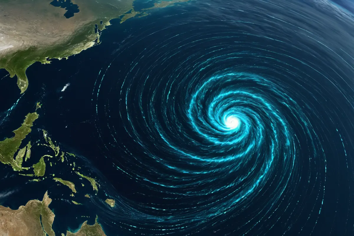
Forecasting Typhoon No. 15's path essentially means quickly checking where it currently is and which direction it's most likely to move. However, typhoon paths aren't fixed—they can change continuously based on sea surface temperatures and surrounding atmospheric pressure patterns. That's why it's important to view the current location, movement direction, and predicted route together to avoid confusion.
Why Checking Current Location Is Crucial
You can roughly estimate the danger zone just by knowing the typhoon's center position. For example, if the center is over southern waters, direct impact may not yet be felt, but strong winds and rain could already be affecting outer areas.
When searching for information, don't just look at "Typhoon No. 15 path forecast"—also check when the data was released. Information from three hours ago might differ from current data, so relying on outdated forecasts can delay your preparations.
You can view similar articles all in one place.
View Related ArticlesWhy Typhoon Movement Direction Changes Frequently
A typhoon's direction is influenced by surrounding air currents. Depending on upper-level winds, the position of the North Pacific High, and other low-pressure systems, it can veer north-west, then suddenly shift north or north-east.
This means you shouldn't assume "it's heading north so it will keep going that way." In reality, its path may wobble slightly—sometimes approaching Japan, sometimes getting closer to the Korean Peninsula, or even moving back out to sea.
Why Forecast Paths Are Often Shown as Wide Bands
While a typhoon forecast might show just a central line, there's usually an error margin. The further in advance the prediction is made, the larger the potential error becomes, so paths are often displayed as wide bands.
This band roughly means "there's a chance it could enter this area." For instance, if the predicted center line grazes the South Sea but has a wide error margin, some inland areas might still experience strong winds or heavy rain.
How to Read Current Location and Movement Direction
When reviewing typhoon information, start by understanding the structure rather than numbers. Look at the center position, movement speed, direction, central pressure, and maximum wind speed in that order—it gives you a clearer picture of the overall situation.
For example, if it says "moving west at 15 km/h," it might not yet be heading north. Conversely, even if speed slows, a shift toward north could mean rain clouds linger longer over your area.

Real-World Example: Interpreting the Path
Imagine a typhoon centered east of the Philippines with a northwest direction. Initially, it may move along the sea, but if surrounding high pressure weakens, it could gradually bend northward.
In such cases, residents along the south coast shouldn't assume they're safe just because it's far away—they should also consider the possibility of widespread rain clouds arriving days later. Conversely, if the path leans more toward Japan, South Korea might experience indirect effects rather than a direct hit.
Key Points for Everyday Preparation
When checking typhoon updates, focus on these four points first:
- Where is the current center location?
- Is it moving northward or westward?
- Is the predicted path getting closer to the Korean Peninsula?
- Where are strong winds and heavy rain likely to occur?
When these four factors align, you can prepare more effectively than simply knowing "a typhoon is coming." Areas prone to heavy rain need flood prevention measures, while areas with strong winds should secure windows and outdoor objects.
Everyday Situations Requiring Preparation
Even if a typhoon's direct path misses your area, its effects can still be significant. For example, heavy rain during rush hour can cause road flooding, water entering underground parking lots, or flight delays.
In reality, "our area is outside the center line" doesn't mean you're safe. Typhoons often produce widespread rain clouds, so areas outside the center line may suffer more severe damage than those directly in its path. That's why it's important to check both the typhoon path and rainfall forecasts together.
Common Misconceptions About Path Forecasts
The most common mistake is judging safety based solely on the center line. Even if you're far from the center, heavy rain and strong winds can still affect you.
Another frequent error is relying too long on captured screenshots instead of checking current updates. Typhoons can change direction within hours, so always prioritize the latest official reports over saved images.
Important Notes When Checking Typhoon Information
It's better to verify whether data includes a release time rather than just looking at portal search results. The same typhoon might appear differently based on observation timing.
Also, regional impacts aren't determined solely by the path. Factors like storm size, speed, and surrounding terrain affect how areas experience it—coastal zones, mountainous regions, and urban centers may feel different effects.
The Most Important Factor in Typhoon No. 15 Path Forecasting
Ultimately, the key isn't "where is the center heading" but "what impact will reach your area first." Path forecasts are tools for direction, while actual preparation starts with understanding where rain and wind will hit.
When typhoon news arrives, don't dismiss it as too far away—check current location and movement direction immediately, then take necessary precautions. Small preparations today can make a big difference later.
FAQ
Q1. When is Typhoon No. 15 path forecasting most accurate?
As the typhoon gets closer, forecasts may narrow slightly, but they're never completely certain. It's best to keep checking the latest updates.
Q2. Is it safe if I'm far from the center line?
No, not necessarily. Typhoons can bring strong winds and heavy rain even outside the center line, so you should also consider wind and rainfall zones.
Q3. Why do typhoon paths change direction?
Mainly due to changing atmospheric pressure systems and wind patterns around it—especially shifts in the North Pacific High's position, which can significantly alter its course.
The latest typhoon information may change rapidly based on release time, so always verify actual path and impact areas against the most recent data available.
Continue exploring similar topics.
View Category ArticlesFAQ
Q1. When is Typhoon No. 15 path forecasting most accurate?
As the typhoon gets closer, forecasts may narrow slightly, but they're never completely certain. It's best to keep checking the latest updates.
Q2. Is it safe if I'm far from the center line?
No, not necessarily. Typhoons can bring strong winds and heavy rain even outside the center line, so you should also consider wind and rainfall zones.
Q3. Why do typhoon paths change direction?
Mainly due to changing atmospheric pressure systems and wind patterns around it—especially shifts in the North Pacific High's position, which can significantly alter its course.
Korean Source
This article is an English localization of a Korean-language report from BlogScore. Original: 15호 태풍 경로 예상, 현재 위치와 이동 방향