
Typhoon Dolphin Path Update: Latest Marine Weather Agency Information
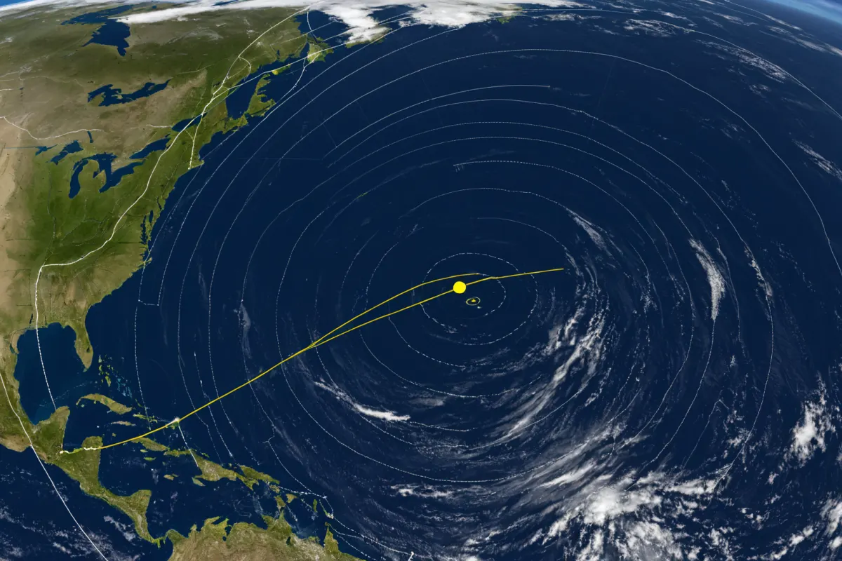
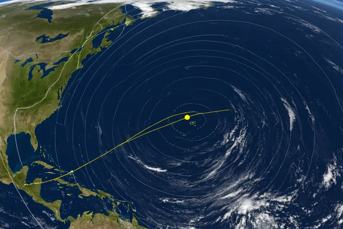
13th Typhoon 'Dolphin' Development and Northward Movement
The 13th typhoon, 'Dolphin,' formed near Guam on July 27, 2026, and is currently moving northward in the waters east of Guam. According to the Korea Meteorological Administration (KMA), it is expected to develop into a super typhoon with maximum sustained winds of up to 198 km/h (123 mph). While it may affect the Korean Peninsula between August 1-2, the exact path and intensity remain uncertain as of now.
Formation and Development of Typhoon 'Dolphin'
'Dolphin' began as a tropical depression on July 26 and rapidly intensified into a typhoon within 24 hours. As the 13th typhoon of the season, it is moving northward east of Guam, with increasing intensity. Some reports have noted predictions of 'an extremely strong typhoon development,' comparing its potential path to previous storms like 'Mami' and 'Bolaven.'
As of July 28, 'Dolphin' is moving northward near Guam, but whether it will impact the Korean Peninsula remains unclear. It is expected to head toward the peninsula in early August, though its exact trajectory has not been confirmed. Some media have referred to it as a potential 'Sonom' (a term used for strong typhoons), drawing attention as the first typhoon of 2026 to potentially reach Korea.
Path and Weather Impact
Depending on its projected path, much of South Korea is currently experiencing hot weather due to heatwaves and tropical nights. Inland central regions may see thunderstorms. If 'Dolphin' affects the peninsula, this could lead to increased rainfall and heavy downpours. However, since the exact path has not been confirmed, further updates are needed.
Reports indicate that between August 1-2, maximum sustained winds of up to 198 km/h (123 mph) may be expected. This speed classifies it as a super typhoon, with potential for strong winds and heavy rain. However, the precise path and affected areas could change based on future KMA announcements.
Characteristics of Typhoon 'Dolphin' and Comparison to Previous Storms
'Dolphin,' as the 13th typhoon, originated near Guam and is expected to reach a 5-step intensity level. Its path differs from previous storms like 'Mami' and 'Bolaven,' with some reports suggesting it may move toward China-Japan-Korea regions—a slightly different trajectory than typical paths.
The KMA has stated that 'Dolphin' is intensifying, with expectations of becoming a strong typhoon by late in the week. However, without confirmed real-time path data, predicting the exact affected areas remains challenging.
Preparedness and Safety Information
If 'Dolphin' moves toward Korea, thunderstorms are expected in inland central regions. Residents are advised to avoid going outside during heavy rain and strong winds. Given that the typhoon's path is still uncertain, checking the KMA for the latest updates is essential.
Specifically, reports of maximum sustained winds reaching 198 km/h (123 mph) between August 1-2 suggest a super typhoon with potential for severe weather. Residents are encouraged to prepare evacuation plans in advance and stay ready for emergencies.
Key Information to Monitor
The exact path of 'Dolphin' and whether it will impact the Korean Peninsula remain unconfirmed. Here's what to watch:
- KMA's latest announcements: Updates on movement and intensity changes
- Real-time tracking data: Specific location and estimated arrival times
- Potential affected areas: Thunderstorm forecasts centered on inland central regions
Current reports do not include real-time path data, so further updates are pending. The typhoon's intensity and trajectory can change daily, so it is important to monitor the KMA’s official announcements for accurate information.
Frequently Asked Questions
Q: When did Typhoon 'Dolphin' form?
A: The 13th typhoon, 'Dolphin,' is believed to have formed near Guam on July 27, 2026.
Q: What is the maximum wind speed of Typhoon 'Dolphin'?
A: The expected maximum sustained winds are up to 198 km/h (123 mph), which classifies it as a super typhoon.
Q: Will Typhoon 'Dolphin' impact the Korean Peninsula?
A: As of now, the exact path is uncertain. However, some reports suggest potential impacts between August 1-2, with thunderstorms expected in inland central regions if it affects the area.
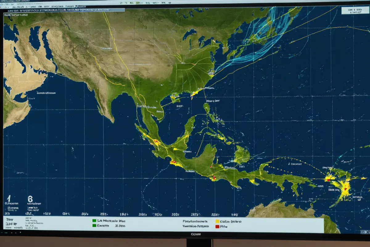
Predicted Path and Intensity of Typhoon 'Dolphin'
According to the KMA, 'Dolphin' is moving northward east of Guam and may head toward the Korean Peninsula between August 1-2. However, its exact path has not been confirmed, and real-time tracking data is currently unavailable. Residents are advised to check for updates from the KMA.
Expected to develop into a super typhoon with maximum sustained winds of up to 198 km/h (123 mph), 'Dolphin' may follow a different path compared to previous storms like 'Mami' and 'Bolaven,' potentially moving toward the China-Japan-Korea region. The precise impact area will depend on future KMA announcements.
As of now, much of South Korea is experiencing hot weather due to heatwaves and tropical nights, with thunderstorms expected in inland central regions. If 'Dolphin' affects the peninsula, this could lead to increased rainfall and heavy downpours.
To accurately assess the path and impact of 'Dolphin,' it's essential to monitor the KMA’s latest updates. Residents are encouraged to prepare evacuation plans and stay ready for emergencies.
You can view similar articles on this topic in one place.
View Related ArticlesFAQ
When did Typhoon 'Dolphin' form?
The 13th typhoon, 'Dolphin,' is believed to have formed near Guam on July 27, 2026.
What is the maximum wind speed of Typhoon 'Dolphin'?
The expected maximum sustained winds are up to 198 km/h (123 mph), which classifies it as a super typhoon.
Will Typhoon 'Dolphin' impact the Korean Peninsula?
As of now, the exact path is uncertain. However, some reports suggest potential impacts between August 1-2, with thunderstorms expected in inland central regions if it affects the area.
Korean Source
This article is an English localization of a Korean-language report from BlogScore. Original: 태풍 돌핀 경로 최신 정보: 해양 기상청의 실시간 업데이트