
Typhoon Dolphin Forecast and Essential Safety Tips for 13th Typhoon
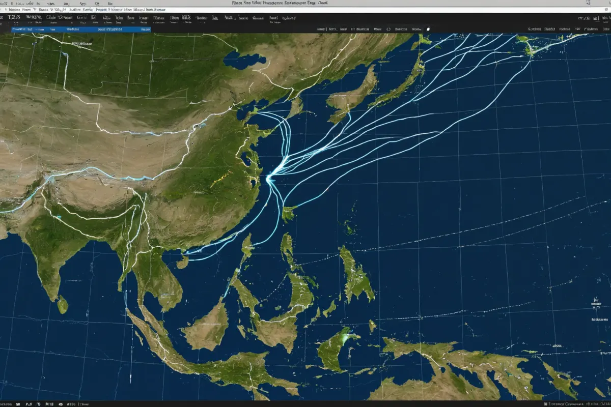
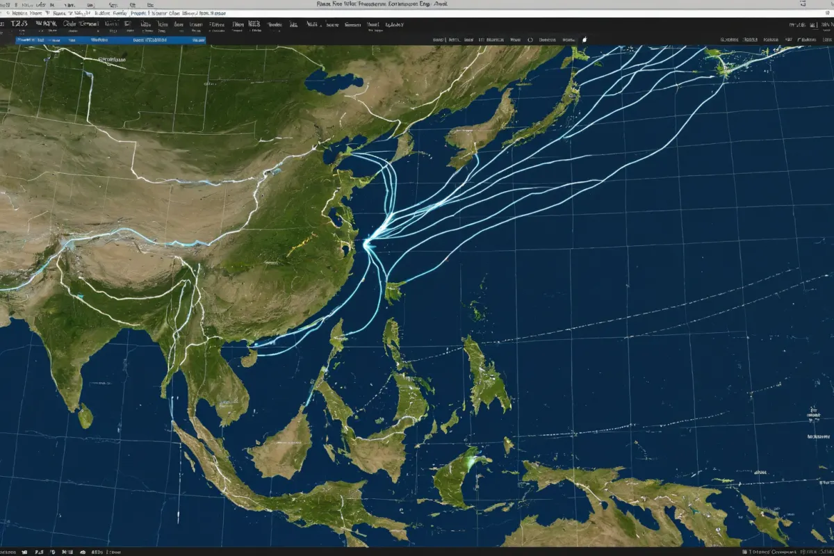
13th Typhoon Dolphin Forecast Details
Typhoon 'Dolphin' (13th typhoon) is expected to significantly impact eastern coastal areas of China, including Shanghai and Zhejiang Province, with over 500,000 people evacuated. As the storm moves inland, it will weaken and transition into a tropical depression by August 11. While the Korea Meteorological Administration (KMA) continuously shares data on the typhoon's central pressure and maximum wind speed, specific figures are not yet available in current reports. This information is crucial for assessing the typhoon's intensity and potential damage.

Path and Regional Impacts
Eastern coastal regions of China, including Shanghai and Zhejiang Province, lie directly in the typhoon’s path, with heavy rain and strong waves forecasted. On August 9, a red alert for torrential rain was issued in Shanghai, leading to reported flooding. This highlights vulnerabilities in low-lying areas and urban drainage systems. As a major city with extensive infrastructure, Shanghai faces significant economic risks from storm-related damage.
Jeju Island is expected to be outside the typhoon’s direct path, receiving only light rain. However, mountainous regions on Jeju may experience minor flooding or small runoff due to localized weather and terrain conditions. Residents are advised to prepare umbrellas or waterproof clothing for light showers.
In contrast, the eastern coast of Gangwon Province and Gyeongsang region will face rain, strong winds, and swells, with additional flood risks in mountainous areas. This reflects ongoing hazards even as the typhoon weakens, emphasizing the need for preparedness in historically vulnerable regions like Gangwon and Gyeongsang.
When the Typhoon Weakens
Typhoon 'Dolphin' struck Okinawa on August 7 before moving toward Shanghai. As it moves inland, it will gradually weaken, transitioning into a tropical depression by August 11. This marks the dissipation of the storm’s center and the beginning of meteorological stabilization. The typhoon’s energy dissipates as it moves inland, reducing its intensity.
The rate at which the typhoon weakens can vary depending on weather conditions such as terrain or atmospheric humidity in inland areas. These factors help forecasters predict the path and weakening timeline more accurately. The KMA continuously analyzes these elements to update forecasts in real time.
West Sea and Northern Region Forecasts
Northern regions, including the West Sea (Yellow Sea), are expected to experience high waves and storm surges on August 15–16. This indicates potential additional risks even as the typhoon weakens, influenced by surrounding weather conditions. Storm surge forecasts for the West Sea are based on marine meteorological data, considering wave height and current flow.
High waves and storm surges in the West Sea could cause significant damage to fishing vessels and coastal infrastructure. Those planning maritime activities should exercise caution, while residents along the west coast are advised to prepare evacuation plans based on surge forecasts.
National heatwaves and hot nights continue across South Korea, requiring attention alongside typhoon forecasts. Heatwaves may persist even after the storm passes, necessitating health precautions. Elderly individuals and children are particularly vulnerable to heat-related issues, making indoor rest and adequate hydration essential.
Typhoon Forecast and Evacuation Status
Over 500,000 people have been evacuated in Zhejiang Province and other affected areas. This demonstrates the government's rapid response to the typhoon’s intensity and anticipated damage. Evacuation zones mainly include coastal and low-lying regions with high flood risks.
In Shanghai, a red alert for heavy rain led to traffic congestion and infrastructure damage, prompting emergency measures. Additional evacuation orders may be issued depending on the storm's movement, as its path remains somewhat unpredictable. Residents are urged to monitor real-time weather updates closely.
Evacuation procedures may vary by region, with evaluations needed regarding the efficiency of urban versus rural evacuation systems. Authorities have prepared specific response plans including shelter operations and food supply management.
Key Safety Tips for Gangwon East Coast and Gyeongsang Region
Rain, strong winds, and swells are expected along Gangwon’s east coast and the Gyeongsang region, with additional flood risks in mountainous areas. Even as the typhoon weakens, existing rainfall and weather conditions pose ongoing threats.
In mountainous regions, landslide and flooding risks remain high. Residents should prepare evacuation plans and monitor local meteorological updates. Road or bridge collapses are possible, so travel should be avoided during heavy rain periods. Staying indoors in safe locations is recommended when heavy precipitation occurs.
Residents of Gangwon and Gyeongsang have a strong history of preparedness due to past typhoon damage. However, adapting to new weather conditions requires continued collaboration between government and local communities.
West Sea Storm Surge Forecast and Heatwave Connection
The West Sea is expected to experience high waves and storm surges on August 15–16. Even as the typhoon weakens, surrounding weather conditions may still pose additional risks. These forecasts are based on marine meteorological data, with wave height and current flow taken into account.
National heatwaves continue alongside typhoon forecasts, making health management essential. Heatwaves often persist after storms pass, requiring ongoing precautions. Elderly individuals and children should prioritize indoor rest and hydration to avoid heat-related illnesses.
Information on 15th Typhoon Chanhom
The 15th typhoon 'Chanhom' is expected to affect the east coast of South Korea, but this information lacks sufficient evidence. Official updates from the KMA will provide further details. Additional information regarding Typhoon Dolphin (13th) remains pending.
As of now, accurate predictions about Typhoon Chanhom are unavailable, with ongoing monitoring by the KMA. Residents should remain prepared for additional storms even after experiencing the effects of Typhoon Dolphin.
Important Information to Verify
Central pressure and maximum wind speed data are essential for accurate forecasts but have not been provided in current reports. The specific rainfall amounts expected in Jeju and wave heights/surge levels in the West Sea should also be confirmed. These details are updated in real time by the KMA, so residents should check regularly.
Information about the typhoon's path is continuously updated by the government meteorological agency. Real-time verification is recommended as the storm weakens and its path may shift. The KMA website or mobile app provides up-to-date information for residents.
Frequently Asked Questions
Will Jeju Island receive heavy rain even though it's outside the typhoon’s direct path?
Typhoon 'Dolphin' is expected to move away from Jeju, so only light showers are forecasted. However, if the storm's path changes, additional impacts could occur, requiring residents to monitor real-time weather updates.
What should people in Gangwon East Coast and mountainous areas be most cautious about?
In mountainous regions, the risk of landslides and flooding is high. Residents should prepare evacuation plans and check local meteorological updates. Travel should be avoided during heavy rain due to potential road or bridge collapses.
How long will the West Sea storm surge forecast remain in effect?
The West Sea storm surge is forecasted for August 15–16, but may change based on evolving weather conditions as the typhoon weakens. Real-time monitoring is advised to stay updated with any adjustments.
Explore more articles on similar topics in one place.
View Related ArticlesFAQ
Will Jeju Island receive heavy rain even though it's outside the typhoon’s direct path?
Typhoon 'Dolphin' is expected to move away from Jeju, so only light showers are forecasted. However, if the storm's path changes, additional impacts could occur, requiring residents to monitor real-time weather updates.
What should people in Gangwon East Coast and mountainous areas be most cautious about?
In mountainous regions, the risk of landslides and flooding is high. Residents should prepare evacuation plans and check local meteorological updates. Travel should be avoided during heavy rain due to potential road or bridge collapses.
How long will the West Sea storm surge forecast remain in effect?
The West Sea storm surge is forecasted for August 15–16, but may change based on evolving weather conditions as the typhoon weakens. Real-time monitoring is advised to stay updated with any adjustments.
Korean Source
This article is an English localization of a Korean-language report from BlogScore. Original: 13호 태풍 돌핀 예보와 주의사항 5가지