
Typhoon Chanhom's Path and Rainfall Forecast: Evacuation Center Locations
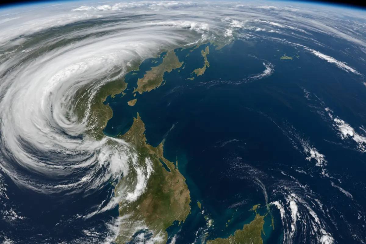
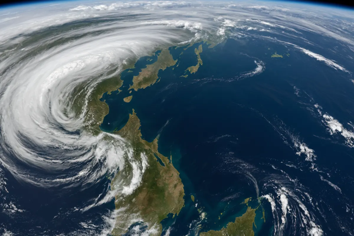
Typhoon Chanhom Path Changes and Expected Rainfall
Typhoon 'Chanhom,' the 15th typhoon of 2026, is moving northward along Japan's eastern waters and is forecast to move into the East Sea on August 12. The Korea Meteorological Administration (KMA) has warned that path changes may occur, though the likelihood of landfall on the Korean Peninsula remains low. However, rain is expected along the east coast of Gangwon Province.
This typhoon's notable feature is the extreme rainfall anticipated over Japan and South Korea's south coast. In Japan, heavy rains of over 100mm per hour are forecasted, while South Korea's south coast may see up to 800mm of rain.
The KMA predicts Typhoon Chanhom will weaken within 12 hours as it moves into the East Sea. While Gangwon's east coast is expected to receive rain, there is no indication of widespread damage across the Korean Peninsula.
Path changes are common for typhoons, and this one appears to have shifted direction after moving toward Japan. The KMA is currently monitoring Typhoon Chanhom, which is moving northwest from a position east of Tokyo as of August 8.
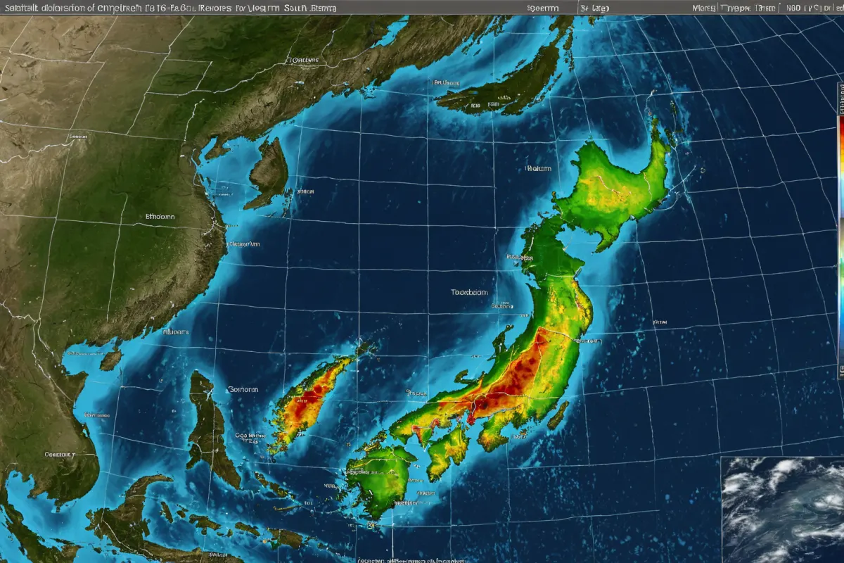
Projected Path and Rainfall Distribution for Typhoon Chanhom
The current location of the 15th typhoon 'Chanhom' is east of Tokyo, Japan, moving northwest. The KMA forecasted in its August 9 report that 'Chanhom' will move into the East Sea by August 12.
South Korea's south coast is expected to be most affected by rainfall. According to the KMA, up to 800mm of rain may fall on South Korea's south coast, which would be considered extreme flooding levels. In Japan, heavy rains exceeding 100mm per hour are forecasted, posing a high flood risk.
While Typhoon 'Chanhom' is not expected to make landfall on the Korean Peninsula, rain is forecast for Gangwon's east coast. The KMA has advised residents to exercise caution when going out during the rain, as winds will be weaker during rainfall periods.
Since its formation on August 5, 2026, the KMA has issued multiple warnings about Typhoon Chanhom's path changes. On August 6, three typhoons were under surveillance, with 'Chanhom' receiving the most attention.
International Impact of Typhoon Chanhom
Typhoon 'Chanhom' is also expected to significantly impact Japan. Heavy rains exceeding 100mm per hour are forecasted in Japan, which could lead to severe flooding. The KMA regularly updates its rainfall forecasts for Japanese regions.
South Korea's south coast faces a predicted maximum of 800mm of rain, surpassing previous records. The KMA has warned that continued heavy rainfall could increase the risk of flooding and inundation.
Meanwhile, in Vietnam's central southern region, Typhoon 'Galmal' caused significant damage, resulting in eight deaths and disappearances. This follows a month-long period where 35 new rainfall records were set across Vietnam, triggering an extreme weather alert.
Causes of the Typhoon and Response Measures
Typhoon 'Chanhom' is believed to have formed in the North Pacific Ocean, with increased intensity due to rising sea surface temperatures. The KMA continuously monitors oceanic data to predict typhoon formation timing and intensity.
Response measures include establishing region-specific emergency plans. South Korea's south coast and Japan should inspect water management systems and strengthen resident safety education to prepare for extreme rainfall.
The KMA updates its Typhoon Chanhom forecast every 12 hours, emphasizing the need for preparedness despite low landfall probability. Residents of Gangwon's east coast are advised to be cautious when going out during rain, as winds will weaken during precipitation periods.
Key Information to Verify
The KMA continues to update Typhoon Chanhom's path and rainfall forecasts. With the East Sea movement forecast for August 12, Gangwon's east coast is expected to experience rain.
Residents should prepare in advance to prevent damage from extreme rainfall in Japan and South Korea's south coast. Specifically, plans should be made for rapid evacuation during heavy rains exceeding 100mm per hour.
The KMA is monitoring the potential weakening of Typhoon Chanhom, which is expected within 12 hours as it enters the East Sea due to cooler sea surface temperatures.
Frequently Asked Questions
Is there a possibility that Typhoon Chanhom will make landfall on the Korean Peninsula?
The KMA states that the likelihood of Typhoon 'Chanhom' making landfall on the Korean Peninsula is low. It is forecast to weaken within 12 hours as it moves into the East Sea.
What is the expected rainfall amount for Typhoon Chanhom?
South Korea's south coast may see up to 800mm, while Japan is forecasted to receive over 100mm per hour. This is considered extreme rainfall levels.
When will Typhoon Chanhom weaken?
The KMA predicts Typhoon 'Chanhom' will weaken within 12 hours after moving into the East Sea. Based on current forecasts, weakening is expected to occur after August 13.
Frequently Asked Questions
Typhoon 'Chanhom' is currently moving northward along Japan's eastern waters and is forecast to move into the East Sea on August 12. The likelihood of landfall on the Korean Peninsula remains low, but rain is expected along Gangwon's east coast. Extreme rainfall is anticipated in both Japan and South Korea's south coast.
The KMA has warned about potential path changes and urges residents to prepare according to their region. Particularly for areas with high rainfall like South Korea's south coast and Japan, rapid evacuation plans and safety education are crucial due to the high flood risk.
Typhoon 'Chanhom' is forecast to weaken within 12 hours as it moves into the East Sea on August 12. Current forecasts suggest no major damage across the Korean Peninsula. However, residents of Gangwon's east coast should exercise caution when going out during rain, as winds will be weaker during precipitation.
The KMA continues to update its Typhoon Chanhom forecast and plans to provide real-time information to residents. Ongoing monitoring of the typhoon's path and rainfall changes remains essential.
You can view similar articles in one place.
View Related ArticlesFAQ
Is there a possibility that Typhoon Chanhom will make landfall on the Korean Peninsula?
The KMA states that the likelihood of Typhoon 'Chanhom' making landfall on the Korean Peninsula is low. It is forecast to weaken within 12 hours as it moves into the East Sea.
What is the expected rainfall amount for Typhoon Chanhom?
South Korea's south coast may see up to 800mm, while Japan is forecasted to receive over 100mm per hour. This is considered extreme rainfall levels.
When will Typhoon Chanhom weaken?
The KMA predicts Typhoon 'Chanhom' will weaken within 12 hours after moving into the East Sea. Based on current forecasts, weakening is expected to occur after August 13.
Korean Source
This article is an English localization of a Korean-language report from BlogScore. Original: 15호 태풍 진로와 강우량 예보, 대피소 위치 안내