
Typhoon 18 'Saudel' Path and Key Prevention Measures
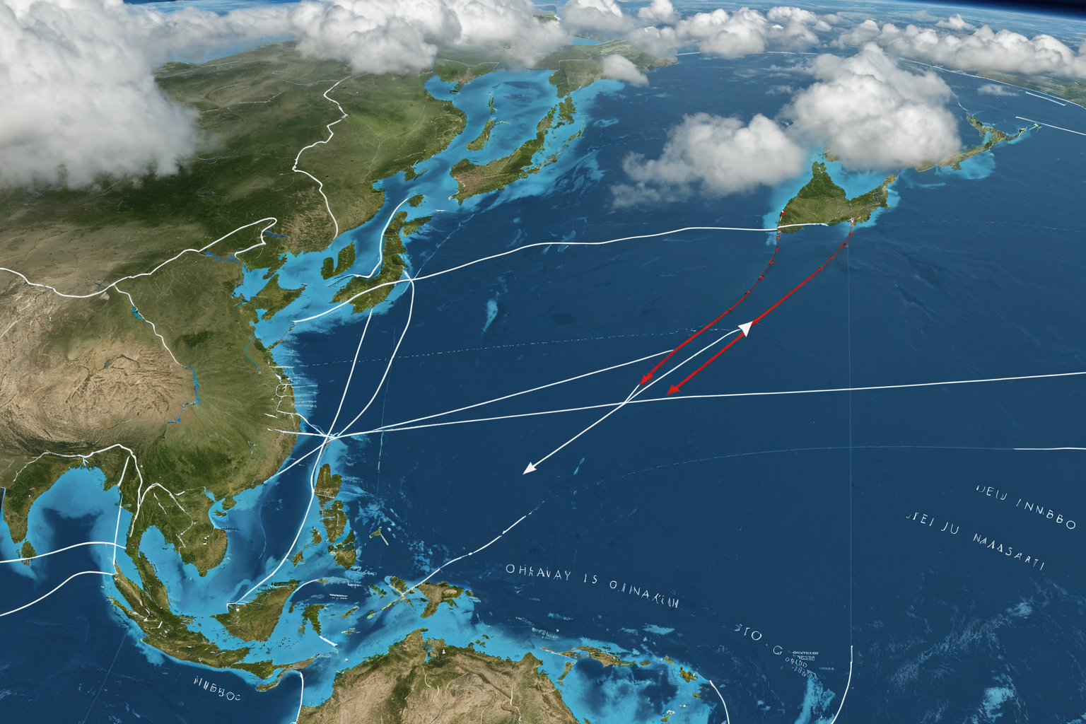
Typhoon 18 'Saudel' Path and Current Situation
Typhoon 18 'Saudel' formed over Guam and is currently moving north toward Japan's Okinawa, intensifying to a super typhoon. The Korea Meteorological Administration (KMA) notes the path remains fluid, requiring heightened attention as it coincides with the autumn monsoon season. Notably, this late-August occurrence contrasts with the typically delayed summer typhoon activity this year, drawing meteorologists' focus on its unusual timing.
Formation Location and Movement Path
Typhoon 18 'Saudel' originated over Guam and is heading north toward Okinawa. According to KMA reports, the path remains fluid, with current projections indicating a course toward waters south of Jeju Island. While passing near Okinawa before moving toward Taiwan could minimize impact on the Korean Peninsula, recent data suggests it may head toward Ningbo, China, and Hamamatsu, Japan—a shift that coincides with strengthening intensity. The typhoon is expected to move at 15-20 km/h, reaching Okinawa around August 23.
Intensity and Development Status
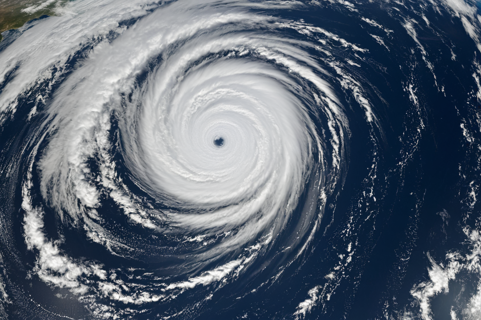
'Saudel' continues to strengthen as a super typhoon, potentially reaching Category 4 status. The KMA warns it could impact the autumn monsoon period, with central pressure estimated at 930 hPa and maximum wind speeds up to 215 km/h—indicating a super typhoon level. Rainfall is projected at 300-400 mm regionally, raising risks of heavy downpours and flooding. Overlapping with the autumn monsoon could exacerbate existing water accumulation from previous rains, increasing flood and overflow risks due to heightened river levels and drainage system strain.
Projected Path and Outlook
The projected path for Typhoon 'Saudel' is divided between Ningbo, China, and Hamamatsu, Japan. While the typhoon initially aimed south of Jeju Island, direct impact on the Korean Peninsula remains possible but uncertain. The KMA states that moving past Okinawa toward Taiwan could reduce influence on Korea, whereas a trajectory toward mainland China would heighten potential effects. The agency updates forecasts every six hours, noting path adjustments may occur based on movement and direction shifts.
Overlap with Autumn Monsoon
'Saudel' is expected to coincide with the autumn monsoon period. The KMA warns of potential disruptions to logistics and additional damage due to increased rainfall. With rivers already elevated from the monsoon, heavy rains from the typhoon could significantly raise water levels, increasing flood risks in urban areas (overloading drainage systems) and agricultural zones (crop losses). The combined effect also heightens weather volatility, potentially lowering forecast accuracy, urging residents to prepare proactively.
Possibility of Direct Hit on Korean Peninsula
Direct impact on the Korean Peninsula remains uncertain. Some reports have speculated about a possible direct hit, but specific damage details are not yet reported. The KMA repeatedly emphasizes the fluid path and plans to provide updates through August 23 forecasts. A trajectory passing near Okinawa toward Taiwan would lower the likelihood of direct impact, while heading toward mainland China would increase it. Residents are advised to monitor regular KMA announcements and follow local emergency plans.
Preparation and Safety Measures
Key prevention measures include restricting coastal access, inspecting drainage systems, and preparing emergency shelters. Continuous monitoring is essential to prevent additional damage from the overlapping monsoon and typhoon. Urban areas require critical checks of sewage and drainage infrastructure, while agriculture may benefit from delaying harvests or installing protective barriers. Authorities are monitoring major transportation networks and airports, with potential suspensions of flights and vessels if needed. Emergency shelters are secured regionally, and safety guidelines distributed to residents for coordinated response.
Confirmed Facts vs. Unconfirmed Information
Typhoon 18 'Saudel' formed over Guam heading north toward Okinawa as a strengthening super typhoon. The KMA states the path remains fluid, with current projections pointing south of Jeju Island. However, whether it will impact Korea is undetermined, and the agency provides daily updated forecasts. Intensity reaching Category 4 has been confirmed, but specific damage scale reports are pending.
Information to Monitor
The final path and intensity of Typhoon 'Saudel' will be confirmed through KMA updates. Residents should consult local safety guidelines prepared for the overlapping autumn monsoon and typhoon period. Key decision points include forecasts up to August 23, with regular KMA announcements critical for staying informed. Adhering to regional emergency plans is vital to minimize potential damage from this combined weather event.
Frequently Asked Questions
Where is Typhoon 18 'Saudel' currently located? Typhoon 18 'Saudel' formed over Guam and is moving north toward Japan's Okinawa.
Is there a high likelihood of Typhoon 'Saudel' impacting the Korean Peninsula? The KMA states the path remains fluid, with current projections uncertain about direct impact.
What damages could occur if the typhoon overlaps with the autumn monsoon? Increased rainfall may cause logistical disruptions and additional damage; residents should prepare to prevent further issues.
You can view similar articles in one place.
View Related ArticlesFAQ
Where is Typhoon 18 'Saudel' currently located?
Typhoon 18 'Saudel' formed over Guam and is moving north toward Japan's Okinawa.
Is there a high likelihood of Typhoon 'Saudel' impacting the Korean Peninsula?
The KMA states the path remains fluid, with current projections uncertain about direct impact.
What damages could occur if the typhoon overlaps with the autumn monsoon?
Increased rainfall may cause logistical disruptions and additional damage; residents should prepare to prevent further issues.
Korean Source
This article is an English localization of a Korean-language report from BlogScore. Original: 18호 태풍의 진로와 주요 피해 예방 대책