
Typhoon No. 15 Path and Rainfall Forecast Range Update
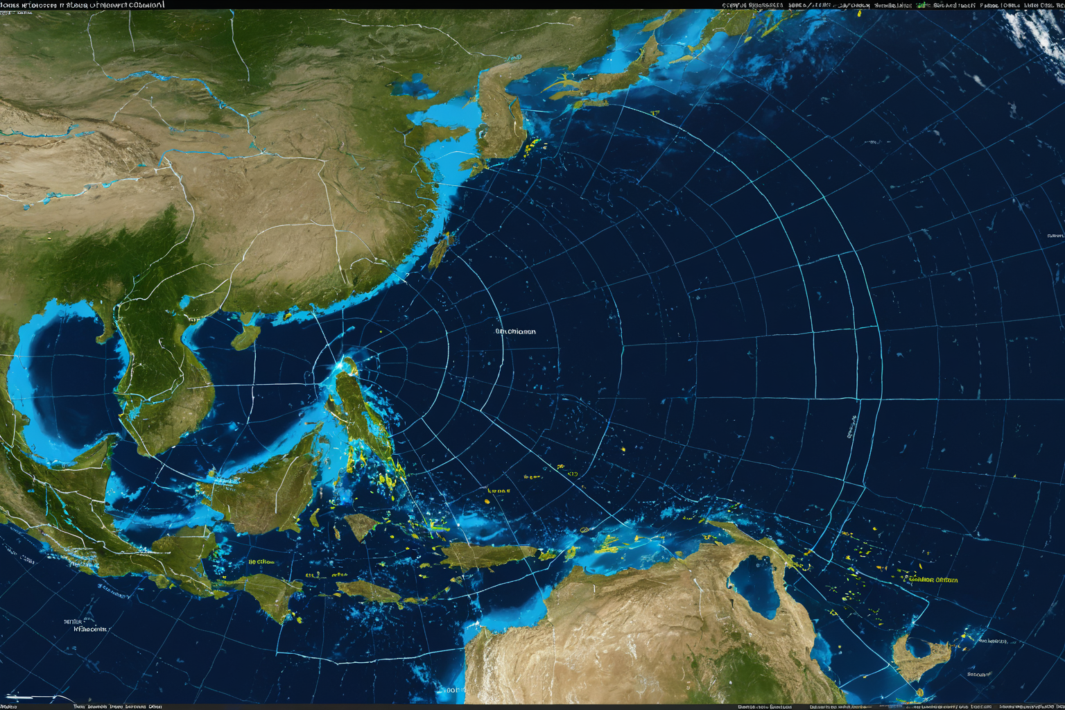
Typhoon No. 15 Path Forecast Range
Typhoon 'Chan-hom' is expected to move eastward toward the Sea of Japan, bringing up to 60mm of rainfall to eastern coastal areas. The storm will likely pass through Japan before dissipating, with light showers forecast for Jeju Island to ease farmers' concerns.
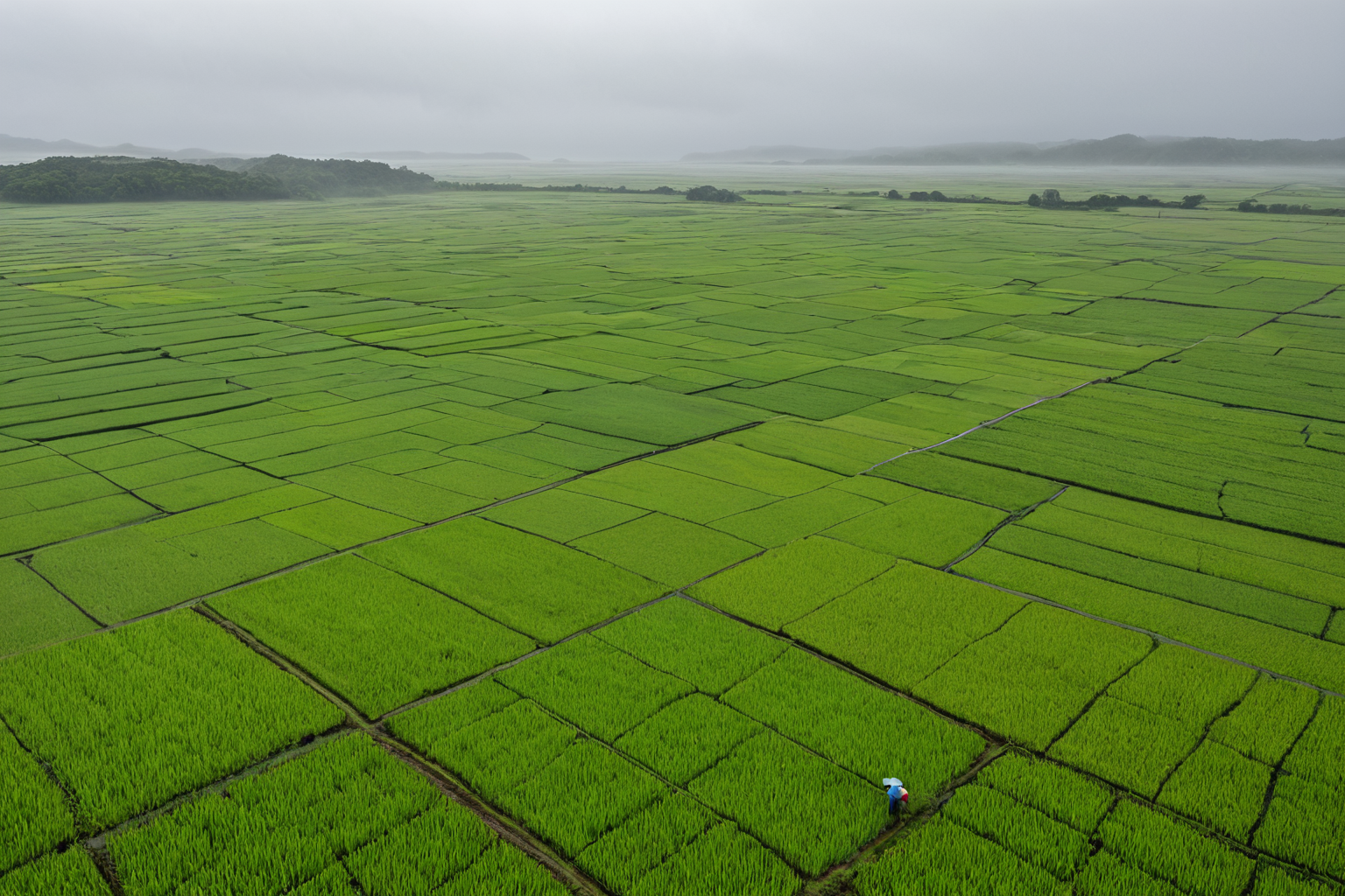
Typhoon 'Chan-hom' Eastward Path and Rainfall Forecast
The Korea Meteorological Administration announced that Typhoon 'Chan-hom' entered the Sea of Japan on August 12. On August 13, the expected path moving eastward was released, forecasting up to 60mm of rainfall for eastern coastal areas.
Typhoon 'Chan-hom' is anticipated to pass through Japan and dissipate afterward. Current data indicates it will not directly affect the Korean Peninsula. However, eastern coastal regions are still expected to receive up to 60mm of rain, which is considered light and temporary.
Clarification on Misinformation Related to Typhoon No. 15
Some reports have mistakenly conflated information about the 2025 'Triple Autumn Typhoon' with Typhoon No. 15's path. This is outdated forecast data unrelated to the current 'Chan-hom' typhoon.
The 2025 'Triple Autumn Typhoon' refers to a forecast involving Typhoons No. 15 (Pepa), No. 16 (Tapa), and No. 17 (Mitak) expected in 2025. The current Typhoon No. 15, 'Chan-hom,' is part of the 2026 typhoon season and has no relation to the 2025 forecast.
Upcoming Typhoon 'Nangka' Expected Soon
Typhoon No. 17 'Nangka' is expected to form within 24 hours. The Korea Meteorological Administration plans to release further details on its path and rainfall forecasts.
As of now, Typhoon 'Chan-hom' is forecast to move eastward toward the Sea of Japan, pass through Japan, and dissipate. Eastern coastal areas are expected to receive up to 60mm of rain, while Jeju Island may see light showers beneficial for agriculture. Attention should also be given to information about the upcoming Typhoon 'Nangka.'
How to Check Typhoon Paths
The Korea Meteorological Administration website provides real-time updates on typhoon paths. The agency's app also allows users to set notifications for timely alerts.
Note that typhoon paths are predictions, so actual movement may differ slightly from forecasts. It is important to check the latest announcements from the Korea Meteorological Administration regularly.
Detailed Rainfall Forecast Range
Eastern coastal areas are expected to receive up to 60mm of rainfall. This level is considered light and temporary, meaning slightly more rain than usual but not severe.
Jeju Island has been forecast for a 'light shower' (danbi), a term used when rainfall levels are low and beneficial for crops. Farmers may find this helpful for their fields.
Avoid Confusing Typhoon Information
Some reports have mistakenly linked current information about Typhoon No. 15 with the 2025 'Triple Autumn Typhoon' forecast, which includes Typhoons Pepa (No. 15), Tapa (No. 16), and Mitak (No. 17) expected in 2025. This is unrelated to the current 'Chan-hom' typhoon.
Information about the 2025 forecast is outdated, and Typhoon 'Chan-hom' belongs to the 2026 season. Always verify that you are referencing the correct year when checking typhoon forecasts.
Preparedness and Safety Information
Eastern coastal areas may see up to 60mm of rain, which is considered light and temporary. While this will not cause major disruptions, farmers may benefit from the light showers for their crops.
Typhoon 'Chan-hom' is expected to pass through Japan and dissipate without causing direct damage to the Korean Peninsula. However, weather conditions can change, so staying updated with the Korea Meteorological Administration's announcements is recommended.
Key Information to Verify
The current forecast for Typhoon No. 15 'Chan-hom' indicates it will move eastward toward the Sea of Japan, pass through Japan, and dissipate. Eastern coastal areas are expected to receive up to 60mm of rain.
Be cautious of information confusing the current typhoon with past forecasts like the 2025 'Triple Autumn Typhoon,' which is unrelated to today's events.
Frequently Asked Questions
Can I check the path of Typhoon No. 15 'Chan-hom'?
The Korea Meteorological Administration website and app provide real-time updates. The typhoon entered the Sea of Japan on August 12, with an expected eastward path released on August 13.
Is rain forecast for Jeju Island?
Yes, light showers ('danbi') are forecast for Jeju Island to benefit agriculture. 'Danbi' refers to low-level rainfall that is beneficial for crops.
When is Typhoon No. 17 'Nangka' expected to form?
Typhoon No. 17 'Nangka' is expected to form within 24 hours, with further details on its path and rainfall forecast to be released by the Korea Meteorological Administration.
Frequently Asked Questions
Is Typhoon No. 15 'Chan-hom' moving eastward toward Japan?
Yes, Typhoon 'Chan-hom' is expected to move eastward toward the Sea of Japan, pass through Japan, and dissipate. Eastern coastal areas will see up to 60mm of rain, while Jeju Island may receive light showers beneficial for crops.
Should I be concerned about confusion with past typhoon forecasts?
Avoid confusing current information with the outdated 2025 'Triple Autumn Typhoon' forecast. The current typhoon is part of the 2026 season, and the 2025 forecast refers to a different set of storms expected in that year.
How can I stay updated on typhoon information?
Check the Korea Meteorological Administration's website or app for real-time updates. Always verify the year associated with any forecast data you review.
You can find similar articles in one place.
View Related ArticlesFAQ
Can I check the path of Typhoon No. 15 'Chan-hom'?
Yes, the Korea Meteorological Administration website and app provide real-time updates. The typhoon entered the Sea of Japan on August 12, with an expected eastward path released on August 13.
Is rain forecast for Jeju Island?
Yes, light showers ('danbi') are forecast for Jeju Island to benefit agriculture. 'Danbi' refers to low-level rainfall that is beneficial for crops.
When is Typhoon No. 17 'Nangka' expected to form?
Typhoon No. 17 'Nangka' is expected to form within 24 hours, with further details on its path and rainfall forecast to be released by the Korea Meteorological Administration.
Korean Source
This article is an English localization of a Korean-language report from BlogScore. Original: 15호 태풍 경로와 강수량 예상 범위 안내