
Top 10 Countries by Area Ranked on a World Map
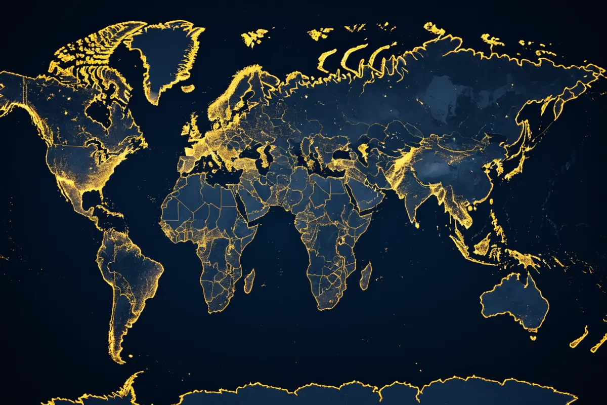
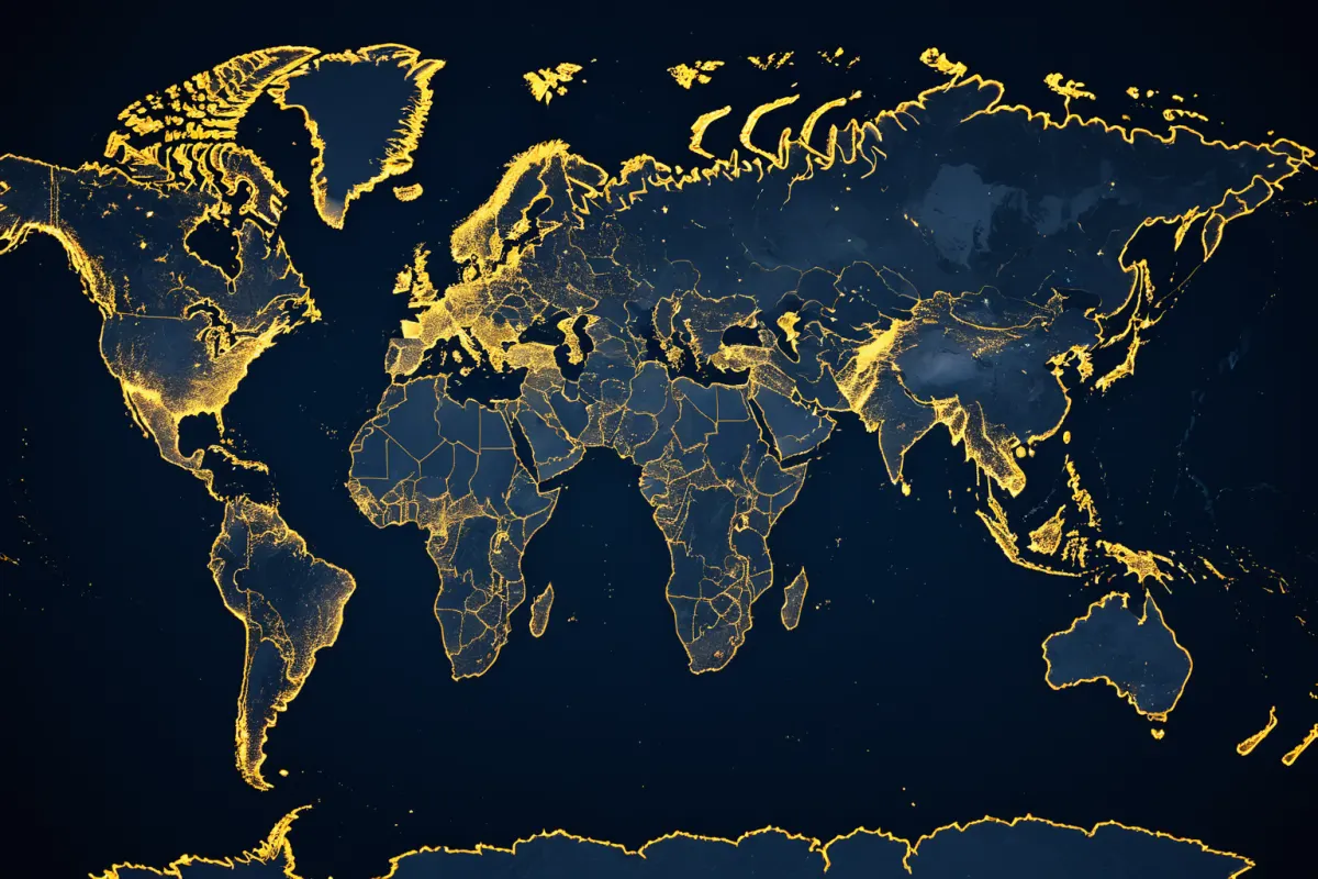
When looking at a country-by-area ranking, Russia is the largest, followed by Canada, China, the United States, and Brazil. Viewing this on a world map makes it easier to understand, as countries of similar size are spread across different continents.
While area rankings might seem like simple comparisons of land size, they also connect to population density, resource distribution, and climate zones—making them surprisingly useful. Knowing these rankings can make world maps feel more three-dimensional for travelers or geography students.
Top 10 Countries by Area
Based on widely accepted standards, the top 10 countries by area are as follows. The numbers reflect total land area commonly used in references, though there may be slight variations depending on sources.
1st Russia
2nd Canada
3rd China
4th United States
5th Brazil
6th Australia
7th India
8th Argentina
9th Kazakhstan
10th Algeria
Looking at this list, it's clear that most top countries are continental-sized nations. Europe has many small countries, while regions like Oceania or South America feature large countries dominating the rankings.
You can explore more articles on similar topics in one place.
View Related ArticlesWhy a World Map Makes It Easier to Understand
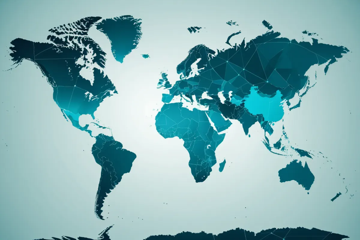
Area rankings are easy to forget when seen as numbers alone, but viewing them on a world map makes the information stick. Russia spans both Europe and Asia, Canada covers much of northern North America, and Australia occupies an entire continent—these visual cues make it immediately clear.
For example, China and the U.S. are both large countries with different shapes. China spreads widely across its continental interior, while the U.S., including Alaska, extends broadly westward and northward, creating a different visual impression on maps.
To simplify: think of Russia as "the dominant 1st place," Canada as "a country dominating the northern part of North America," and Australia as "occupying almost an entire continent." This mental image makes rankings easier to recall.
Why Area Rankings Can Be Confusing
The main confusion with area rankings is that there’s no single standard. Some sources use total area, while others list only land area. The inclusion of water bodies like lakes or seas can slightly change the numbers.
So it's helpful to check which standard a source uses when reviewing rankings. For instance, Canada has many lakes, so its total and land areas differ noticeably. Countries with more defined borders like India or Algeria show less difference between these measures.
Another factor is border disputes. Areas in dispute may vary based on international recognition, leading to slight differences in rankings across sources for the same country.
Common Traits of Large Countries
Larger countries often have diverse climates and terrains. Russia includes cold Arctic regions alongside inland plains, while Canada features vast forests, lakes, and mountain ranges.
This diversity means lifestyles can vary greatly within a single country. Assuming all parts of a large country share the same weather or environment is misleading. Large nations also tend to have longer distances between cities, requiring specialized transportation networks, logistics, and administrative structures.
For travelers, this matters too. For example, traveling across the U.S. from east to west involves different cultures and long travel times—so assuming "it's all one country" can lead to poor itinerary planning.
Easy Ways to Remember Area Rankings
Rather than memorizing every number, grouping countries by region makes it easier. The top 5 (Russia, Canada, China, U.S., Brazil) are well-known large nations, followed by Australia, India, Argentina, Kazakhstan, and Algeria from 6th place onward.
Grouping by continent also works: North America includes Canada and the U.S.; South America features Brazil and Argentina; Asia has Russia, China, India, and Kazakhstan; Africa's top entry is Algeria; Oceania is represented by Australia.
For example, when asked "Which country occupies an entire continent?" think of Australia first. Then consider Russia, China, or the U.S. as follow-up examples.
Real-World Applications of Area Rankings
In geography classes, area rankings help students understand continental distribution and are common in trivia quizzes. Knowing these rankings improves map-reading skills beyond simple memorization.
For instance, if asked why Brazil is often called the largest country in South America, someone familiar with area rankings can immediately connect it to its size. Similarly, understanding why Australia is referred to as both an island and a continent becomes clearer with this context.
This knowledge also benefits travelers. In large countries, one city doesn't represent the whole nation—so it's important to consider distances between cities and regional characteristics. A short trip might not capture the full essence of a country like Australia or Russia.
Other Useful Information Alongside Area Rankings
Comparing area rankings with population rankings makes for interesting insights. Some large countries have low populations, while others are smaller but densely populated.
For example, Canada and Australia cover vast areas but have concentrated populations in major cities. China and India, however, combine large landmasses with massive populations. Algeria and Kazakhstan may seem big on paper, but their population density feels much lower than expected.
This comparison becomes clearer when viewed on a world map. Remember that large area doesn't always mean economic or political dominance—area is purely a geographical metric.
FAQ
Q. What's the most accurate standard for country area rankings?
A. Most sources use total area, though some list only land area. Slight differences may exist between sources.
Q. Why is Russia ranked first?
A. Russia spans both Europe and Asia, making it an exceptionally large nation geographically.
Q. What's the easiest way to remember country rankings?
A. Group top 5 countries together and then group numbers 6–10 by region. Using a world map alongside these groups makes memorization much easier.
Area rankings may vary slightly depending on sources, so for the most up-to-date figures, double-check recent statistical data.
Explore more articles on similar topics.
View Category ArticlesFAQ
What's the most accurate standard for country area rankings?
Most sources use total area, though some list only land area. Slight differences may exist between sources.
Why is Russia ranked first?
Russia spans both Europe and Asia, making it an exceptionally large nation geographically.
What's the easiest way to remember country rankings?
Group top 5 countries together and then group numbers 6–10 by region. Using a world map alongside these groups makes memorization much easier.
Korean Source
This article is an English localization of a Korean-language report from BlogScore. Original: 국가별 면적순위 TOP 10과 세계 지도 한눈에