
Seoul's 3D Urban Planning Initiative: Key Zones and Development Timeline
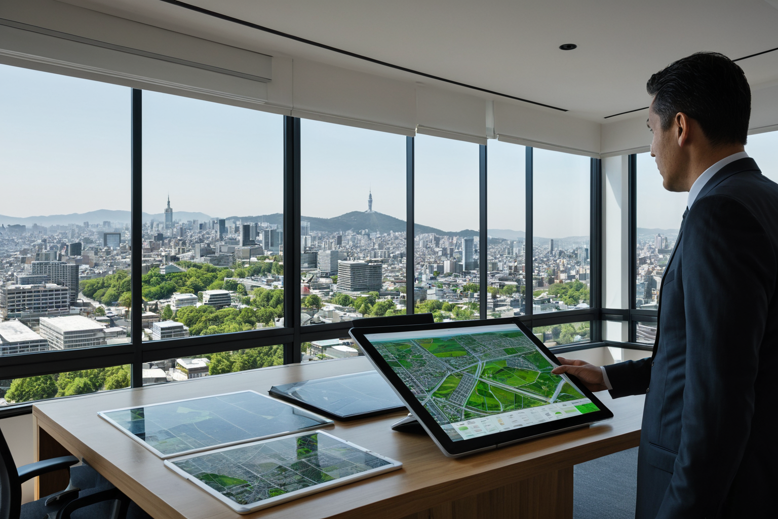
Seoul's 3D Urban Planning Initiative
Seoul City has unveiled a pioneering 3D urban planning system, making it the first city in South Korea to visualize city development plans in three dimensions—showing height and depth at a glance. This initiative was first implemented in the Mi-a 'Layered Park' area, replacing traditional flat maps with 3D models to enhance transparency and public understanding of urban development projects.
Key Areas for 3D Urban Planning Implementation
Seoul is currently advancing urban development plans using 3D diagrams in key areas including the Sin-gil 5 Zone, Mapo Ahyeon 1 Zone, and Coex. The Sin-gil 5 Zone will transform underutilized land into a school complex with a swimming pool, while the Mapo Ahyeon 1 Zone is moving forward with a public redevelopment project of 3,476 units.
The Coex area has approved a district plan change to create pedestrian-friendly green spaces, and Nodul Island will apply a 120% floor area ratio for innovative design buildings. Seoul aims to establish a 'green ecological downtown' through the introduction of 3D parks and regulatory easing.
Revised Urban Redevelopment Strategies
Seoul is revising its basic redevelopment plan by introducing business viability correction coefficients, recognizing existing floor area ratios, and expanding incentives for allowable floor area ratios. The Seung-hak Tunnel private investment project has received approval of its implementation plan, with plans to complete topographic mapping and road zone decisions in preparation for opening in 2030.
The Magok urban development project's district plan was revised and approved, while the Han River comprehensive management master plan was first announced in 2015. Seoul is pursuing these development plans to drive innovative city transformation.
Background and Goals of the 3D Planning System
Seoul introduced a '3D diagram' system that visualizes urban planning facilities using 3D models instead of traditional flat maps. This was first applied in the Mi-a 'Layered Park' area to improve transparency and public understanding of development plans.
Seoul is also advancing plans to manage cadastral maps in 3D, a process that began on February 23, 2010. The 3D diagram aims to help citizens experience Seoul as a 'green ecological downtown' through enhanced urban planning visualization.
The Seoul Express Bus Terminal has begun comprehensive 3D development, and Yongsan Najin Street is transforming into a new industry hub based on AI and ICT. Seoul aims to drive innovative city change through these developments.
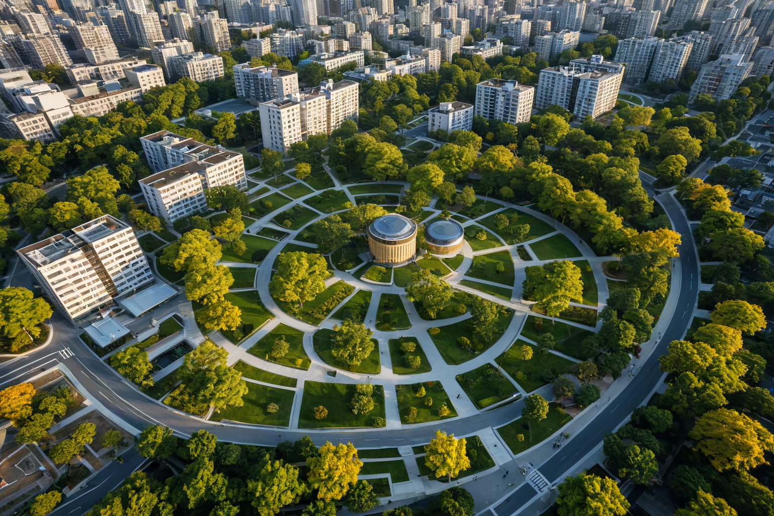
Key Timeline for Seoul's 3D Urban Planning Initiative
Since the announcement of the Han River comprehensive management master plan in 2015, Seoul has intensified efforts to visualize urban planning. On February 13, 2023, a decision was made to apply a 120% floor area ratio for innovative design buildings on Nodul Island; on July 18, 2023, the plan to advance toward a 'green ecological downtown' that citizens can experience was announced.
Seoul will officially launch the introduction of 3D parks and full relaxation of three types of regulations on July 9, 2025. On November 13, 2025, the district plan change for Coex as a pedestrian-friendly green space was approved. The underutilized land in Sin-gil 5 Zone will be transformed into a school complex with a swimming pool by March 26, 2026.
The Mapo Ahyeon 1 Zone public redevelopment project of 3,476 units will officially begin on June 1, 2026, with the selection of SH Corporation as the implementing entity. The Seoul Express Bus Terminal began comprehensive 3D development on November 26, 2025, and Yongsan Najin Street is transforming into a new industry hub based on AI and ICT by July 15, 2026.
Urban Redevelopment Improvements and Effects
By revising the basic redevelopment plan, Seoul is introducing business viability correction coefficients, recognizing existing floor area ratios, and expanding incentives for allowable floor area ratios. These measures aim to improve development efficiency and enhance citizens' perception of urban changes.
The Seung-hak Tunnel private investment project has completed implementation plan approval, topographic mapping, and road zone decisions with a target opening in 2030. The Magok urban development project's district plan was revised and approved. These changes demonstrate Seoul's increasingly innovative and perceptible approach to urban development.
Key Elements of Seoul's 3D Urban Planning Initiative
Seoul began implementing the 3D diagram in the Mi-a 'Layered Park' area, strengthening visualized city planning. This method uses 3D models instead of flat maps to improve transparency and understanding of urban development plans.
The Seoul Express Bus Terminal has begun comprehensive 3D development, while Yongsan Najin Street is transforming into a new industry hub based on AI and ICT. Seoul aims to drive innovative city change and enhance citizens' experience through these developments.
Key Resources for Seoul's 3D Urban Planning
Seoul has released key resources related to the 3D diagram, including the Seung-hak Tunnel private investment project, Magok urban development project, Han River comprehensive management master plan, and a city design proposal reflecting Seoul's spirit. Among these, the Seung-hak Tunnel (targeting completion by 2030) and the Magok redevelopment project are receiving significant attention, with expanded business viability correction coefficients and allowable floor area ratio incentives through revised basic redevelopment plans.
Future Outlook for Seoul's 3D Urban Planning Initiative
Seoul aims to complete its 3D urban development projects across key zones by 2026. Starting with the initial implementation in Mi-a 'Layered Park', this initiative has become one of Seoul's core strategies to advance toward a 'green ecological downtown' that citizens can experience.
Key Information to Verify
Seoul's 3D urban planning initiative is progressing across key zones, with public redevelopment in Sin-gil 5 Zone and Mapo Ahyeon 1 Zone currently underway. The Coex area has approved a district plan change for pedestrian-friendly green spaces, while Nodul Island will apply a 120% floor area ratio for innovative design buildings.
Frequently Asked Questions
How is Seoul utilizing the 3D urban planning system?
Seoul City has introduced a pioneering 3D urban planning system, making it the first city in South Korea to visualize city development plans in three dimensions—showing height and depth at a glance. This was first implemented in the Mi-a 'Layered Park' area using 3D models instead of traditional flat maps.
What are the main goals of Seoul's 3D urban planning initiative?
Seoul aims to establish a 'green ecological downtown' through the introduction of 3D parks and regulatory easing. The core focus is enhancing transparency and public understanding of development plans, creating a city citizens can experience.
What are the key milestones for Seoul's 3D urban planning initiative?
Key milestones include: February 13, 2023 (Nodul Island innovative design building floor area ratio decision), July 18, 2023 ('green ecological downtown' plan announcement), July 9, 2025 (launch of 3D parks and regulatory relaxation), November 13, 2025 (Coex district plan approval), March 26, 2026 (Sin-gil 5 Zone school complex completion).
Frequently Asked Questions
Seoul City's 3D urban planning initiative is designed to enhance citizens' perception of city development and create innovative urban spaces. The first implementation in the Mi-a 'Layered Park' area has become a significant example of Seoul's new direction for future cities.
By 2026, Seoul plans to complete key zone development projects using 3D planning, expected to bring about a transformation toward a 'green ecological downtown' that citizens can experience.
You can view similar articles on this topic all at once.
View Related ArticlesFAQ
How is Seoul utilizing the 3D urban planning system?
Seoul City has introduced a pioneering 3D urban planning system, making it the first city in South Korea to visualize city development plans in three dimensions—showing height and depth at a glance. This was first implemented in the Mi-a 'Layered Park' area using 3D models instead of traditional flat maps.
What are the main goals of Seoul's 3D urban planning initiative?
Seoul aims to establish a 'green ecological downtown' through the introduction of 3D parks and regulatory easing. The core focus is enhancing transparency and public understanding of development plans, creating a city citizens can experience.
What are the key milestones for Seoul's 3D urban planning initiative?
Key milestones include: February 13, 2023 (Nodul Island innovative design building floor area ratio decision), July 18, 2023 ('green ecological downtown' plan announcement), July 9, 2025 (launch of 3D parks and regulatory relaxation), November 13, 2025 (Coex district plan approval), March 26, 2026 (Sin-gil 5 Zone school complex completion).
Korean Source
This article is an English localization of a Korean-language report from BlogScore. Original: 서울시 입체도면 도시 개발 계획의 주요 대상 구역과 개발 일정