
Seoul Unveils 3D City Planning Maps: Detailed Regional Development Plans


Seoul Unveils 3D City Planning Maps: Detailed Regional Development Plans
Seoul has become South Korea's first city to publicly release 3D city planning maps, visualizing urban development plans in three dimensions rather than traditional flat maps. This innovative approach shows both underground infrastructure and aerial views comprehensively, aiming to improve public understanding and promote transparent urban development planning. The Mi-a 'Layered Park' project has been selected as the first application case.
Seoul's 3D City Planning Maps: First-of-Its-Kind Visual Urban Development
Seoul has publicly released its 3D city planning maps, marking South Korea's first implementation of this technology. By visualizing urban development in three dimensions rather than flat plans, the city can now comprehensively display both underground and aerial elements that were previously difficult to understand with traditional two-dimensional maps. The Mi-a 'Layered Park' project has been chosen as the first application case, representing Seoul's strategy to develop tailored urban plans for different districts while strengthening citizen participation.
Seocho-dong & Cheongdam-dong Development Approvals: Accelerating Gangnam Area Projects
The approval of urban development plans for Seocho-dong and Cheongdam-dong has accelerated development projects in the Gangnam area. This is considered a result of Seoul's policy to improve public understanding through 3D mapping, leading to more transparent development planning. Both districts are set to transform from high-density residential areas into new urban centers.
Seongsu-dong is planned to become an IT, culture, and content industry hub. Given Seongsu-dong's existing reputation in cultural and artistic fields, it has strong potential to become a concentration point for IT and content industries.
Guryong Village: 25-Story Housing Complex with 3,500 Units
A 25-story apartment complex is planned for Guryong Village, creating a total of 3,500 housing units. This large-scale residential development will be part of the area's urban renewal project. Guryong Village has historically been a residential area, and this construction aims to create new living environments while revitalizing the neighborhood.
First Application Case: Mi-a 'Layered Park' Project
The Mi-a 'Layered Park' was selected as Seoul's first application case for 3D city planning maps. This project uses the 3D mapping system to comprehensively display both underground and aerial elements, clearly communicating development plans to citizens. The layered park is designed as a mixed-use space combining residential and commercial areas, expected to improve urban living quality.
The Mi-a 'Layered Park' project was developed after Seoul introduced its 3D mapping system, specifically designed for citizens to directly understand and participate in the planning process through 3D visualization. This represents a successful case of making complex urban development plans more intuitive compared to traditional flat maps.
Purpose of Seoul's 3D City Planning Maps: Tailored Urban Planning & Enhanced Citizen Participation
Seoul's primary goal in releasing these 3D city planning maps is to develop tailored urban plans and strengthen citizen participation. Traditional flat maps made it difficult for citizens to understand development projects, but the 3D visualization shows both underground and aerial elements comprehensively, making it easier for citizens to grasp the plans. This represents Seoul's strategic approach to expanding citizen participation across various sectors—from private-led development projects to government-led urban renewal initiatives.
Historical Significance of Seoul's 3D City Planning Maps
Seoul becoming South Korea's first city to publicly release 3D city planning maps is expected to bring significant changes in the field of urban planning. It successfully moves beyond traditional flat map systems toward a 3D visualization approach for communicating development plans, setting an example that other local governments can follow.
While Seoul has previously implemented urban renewal projects, the introduction of 3D mapping aims to make these plans more accessible and understandable for citizens. The selection of Mi-a 'Layered Park' as the first application case represents the success of this strategic approach.
The main goal of Seoul's 3D city planning map initiative is to improve public understanding and promote transparent urban development, going beyond merely showing plans to creating a foundation where citizens can directly participate and provide feedback.
Seoul began publicly releasing its 3D city planning maps on August 9, 2026, with the Mi-a 'Layered Park' project serving as the first application case. This marks an important turning point in Seoul's urban planning system, moving from traditional flat maps to a 3D visualization approach.
Seoul has selected Mi-a 'Layered Park' as the first application case for its 3D city planning map initiative, aiming to improve public understanding and promote transparent development planning. This is significant because it visualizes urban development plans in three dimensions rather than flat maps, making complex projects easier for citizens to understand.
Seoul aims to use these 3D maps to clearly communicate detailed regional information and build development plans that reflect citizen input. Through this initiative, Seoul expects its urban development to proceed transparently while creating an environment where citizens can actively participate.
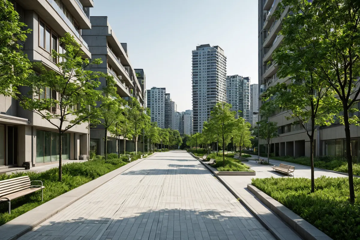
Seoul's 3D City Planning Maps & Detailed Regional Development Plans
Seoul has publicly released its 3D city planning maps, marking South Korea's first implementation of this technology. This visualizes urban development plans in three dimensions rather than flat maps, showing both underground and aerial elements comprehensively. Mi-a 'Layered Park' is the first application case.
The approval of urban development plans for Seocho-dong and Cheongdam-dong has accelerated Gangnam area projects. Seongsu-dong is planned to become an IT, culture, and content industry hub, while Guryong Village will see a 25-story apartment complex with 3,500 housing units.
Seoul's 3D city planning map initiative aims to improve public understanding of urban development plans by visualizing them in three dimensions rather than flat maps. This is significant as it makes complex projects easier for citizens to understand and participate in.
Enhancing Transparency Through Seoul's 3D City Planning Maps
Seoul is working to enhance transparency in urban development planning through its 3D city planning map initiative, aiming to improve public understanding. This goes beyond simply providing information to creating a foundation for direct citizen participation.
The selection of Mi-a 'Layered Park' as the first application case demonstrates Seoul's success in clearly communicating urban plans using 3D mapping, making complex development projects more understandable for citizens compared to traditional flat maps.
Future Direction of Seoul's Urban Planning
Seoul aims to continue using its 3D city planning maps to communicate urban development plans transparently and create an environment where citizens can directly participate. This indicates that future urban renewal and development projects will incorporate more citizen input.
By clearly communicating detailed regional information through these 3D maps, Seoul expects to improve public understanding while strengthening transparency in urban development planning. This initiative presents a new model for involving citizens in the planning process.
Frequently Asked Questions
When did Seoul begin releasing its 3D city planning maps?
Seoul began publicly releasing its 3D city planning maps on August 9, 2026. Mi-a 'Layered Park' was selected as the first application case.
How do 3D maps differ from traditional flat maps?
3D maps visualize urban development plans in three dimensions rather than flat maps, showing both underground and aerial elements comprehensively. This makes it easier for citizens to intuitively understand complex urban development plans that were previously difficult to grasp with two-dimensional representations.
What are the details of the approved Seocho-dong & Cheongdam-dong development project?
The urban development plan approval for Seocho-dong and Cheongdam-dong has accelerated Gangnam area projects. This is part of Seoul's policy to improve public understanding through 3D mapping, leading to more transparent development planning. Both districts are set to transform from high-density residential areas into new urban centers.
Frequently Asked Questions
Seoul's first implementation of publicly releasing 3D city planning maps is expected to bring significant changes in urban planning. This technology visualizes plans in three dimensions rather than flat maps, showing both underground and aerial elements comprehensively. Mi-a 'Layered Park' has been selected as the first application case. Seoul aims to improve public understanding and promote transparent development planning through this initiative.
By using 3D mapping to clearly communicate regional details and create a foundation for citizen participation, Seoul expects future urban development to proceed more transparently and democratically.
You can view similar articles on this topic all at once.
View Related ArticlesFAQ
When did Seoul begin releasing its 3D city planning maps?
Seoul began publicly releasing its 3D city planning maps on August 9, 2026. Mi-a 'Layered Park' was selected as the first application case.
How do 3D maps differ from traditional flat maps?
3D maps visualize urban development plans in three dimensions rather than flat maps, showing both underground and aerial elements comprehensively. This makes it easier for citizens to intuitively understand complex urban development plans that were previously difficult to grasp with two-dimensional representations.
What are the details of the approved Seocho-dong & Cheongdam-dong development project?
The urban development plan approval for Seocho-dong and Cheongdam-dong has accelerated Gangnam area projects. This is part of Seoul's policy to improve public understanding through 3D mapping, leading to more transparent development planning. Both districts are set to transform from high-density residential areas into new urban centers.
Korean Source
This article is an English localization of a Korean-language report from BlogScore. Original: 서울시 입체도면 공개: 도시 개발 계획의 지역별 세부 내용