
Essential Tips for Navigating Seoul's Traffic with Real-Time CCTV
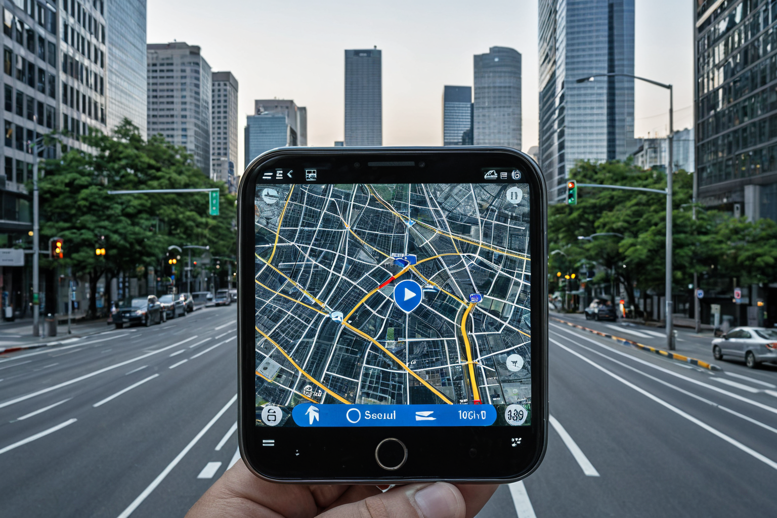
Using Seoul's traffic CCTV to check real-time conditions and plan alternative routes is the fastest way to move around. Especially during major events like BTS concerts or the Lantern Procession on Buddha's Birthday, when large-scale traffic controls are implemented—such as no-stopping at Gwanghwamun Station and 33-hour restrictions on Sejong-daero—you can monitor live updates through Seoul City TOPIS, National Traffic Information Center app, and Kakao Mobility. Free shuttle buses and data-driven prediction services are also worth noting.
How to Check Real-Time Traffic CCTV in Seoul
Seoul City TOPIS is a leading platform for traffic information during holidays like Lunar New Year. Easily accessible via the Seoul City website, it shows real-time congestion zones and major intersection conditions. It’s especially helpful to check TOPIS before large travel periods like Lunar New Year or Chuseok to anticipate delays and adjust departure times. In July 2024, Seoul City released an improved user-friendly interface for TOPIS.
The National Traffic Information Center app is optimized for monitoring highway congestion and added a feature in September 2024 to show congested highway sections. Kakao Mobility also shares Chuseok travel tips, including how to check CCTV for congestion zones; by September 21, 2026, it plans to provide even more detailed real-time information during the Chuseok holiday period.
CCTV for major roads like the Second Gyeongin Expressway is accessible through Seoul City’s traffic platforms. Services that show live bus locations are expanding, making them useful for public transport users too. According to a January 14, 2026 report in Hyundai Economy News, Seoul City will expand real-time bus tracking by linking it with free shuttle buses operated by 25 district offices.
Traffic Control and Alternative Routes During Major Events
During BTS concerts, Gwanghwamun Station will have no stops, and Sejong-daero will be restricted for 33 hours. For the event scheduled on March 16, 2026, traffic conditions are expected to worsen significantly, so citizens should check alternative routes via Seoul City’s website or mobile apps. BTS concerts attract many fans, causing congestion starting two hours before departure and lasting over three hours after the event ends.
The Lantern Procession on Buddha's Birthday will take place in Jongno District on May 16, 2026, with vehicle restrictions from Jongno 1-ga to Jongno 3-ga. Recommended alternative routes include Sejong-daero and roads around Junggu Office. Seoul City will provide traffic updates the day before (May 15) to help citizens plan ahead.
Seoul City operates free shuttle buses to address "busless commutes"—a problem where commuters can’t catch a bus due to congestion, especially during large events. For example, on BTS concert days, Gangnam and Jongno districts run free shuttles connecting Gwanghwamun Station and Myeongdong Station. Seoul Data Hub enables traffic data analysis for predicting Chuseok travel patterns.
Innovations in Traffic Management with Drones and AI
Seoul City announced plans to introduce drones for real-time traffic management in June 2023, aiming to monitor large events more accurately and respond quickly. During the October 2024 Yeouido Fireworks Festival, drones were used for traffic management and illegal parking enforcement—a first practical application of drone technology on roads.
In September 2024, Seoul City also used drones during the World Fireworks Festival to adjust delivery services and monitor traffic near Yeouido. This integrated approach—combining traffic management with city services—gained attention. According to a report by v.daum.net on August 24, 2025, drone-based traffic systems will expand across Seoul in the future.
Ai-powered patrol cars are making traffic enforcement more efficient, and AI video technology at Jongmyo Public Parking has shortened check-in and check-out times. Seoul Subway public data is also being used to provide traffic information, with integrated technologies improving overall traffic management. A report by Science Times on October 2, 2025, noted that AI-based traffic prediction systems contribute to minimizing congestion during Chuseok travel.
Real-Time Traffic Prediction and Response Strategies
Seoul City uses big data from roads to predict Chuseok travel conditions and develop response strategies. According to a Science Times report on October 2, 2025, these prediction services help minimize congestion during peak travel times. During Chuseok, citizens can be advised to use public transport or get real-time congestion updates by road section.
Seoul City also conducts traffic safety education and campaigns at seven senior centers in each district, focusing on helping elderly residents move safely using public transportation. These initiatives are part of broader efforts to expand traffic information services via map apps—from free parking lots to market navigation.
Key Information and Precautions
Seoul City TOPIS provides real-time traffic info for Lunar New Year travel, while the National Traffic Information Center app lets you monitor highway congestion live. Kakao Mobility shares Chuseok travel tips alongside CCTV-based congestion zone checks.
On March 16, 2026, during BTS concerts, Gwanghwamun Station will have no stops and Sejong-daero will be restricted for 33 hours. The Buddha's Birthday Lantern Procession on May 16, 2026, will involve vehicle restrictions in Jongno District; citizens should check alternative routes via Seoul City’s website or mobile apps.
Especially during BTS concerts, expect extreme congestion around Gwanghwamun Station—check traffic conditions before departure and consider public transport. During events like the Yeouido Fireworks Festival, drones monitor road conditions in real time, so stay aware of live updates.
Frequently Asked Questions
Where can I check Seoul’s traffic CCTV?
You can view real-time traffic via Seoul City TOPIS, National Traffic Information Center app, and Kakao Mobility.
What are the traffic control zones during BTS concerts?
Gwanghwamun Station will have no stops and Sejong-daero will be restricted for 33 hours; alternative routes can be found on Seoul City’s website or mobile apps.
How does drone-based traffic management work?
In October 2024, during the Yeouido Fireworks Festival, drones were used for traffic management and illegal parking enforcement. The plan to introduce drones was announced in June 2023.
You can view similar articles all at once.
View Related ArticlesFAQ
Where can I check Seoul’s traffic CCTV?
You can view real-time traffic via Seoul City TOPIS, National Traffic Information Center app, and Kakao Mobility.
What are the traffic control zones during BTS concerts?
Gwanghwamun Station will have no stops and Sejong-daero will be restricted for 33 hours; alternative routes can be found on Seoul City’s website or mobile apps.
How does drone-based traffic management work?
In October 2024, during the Yeouido Fireworks Festival, drones were used for traffic management and illegal parking enforcement. The plan to introduce drones was announced in June 2023.
Korean Source
This article is an English localization of a Korean-language report from BlogScore. Original: 서울 교통 CCTV로 빠르게 길 찾기 위한 필수 팁