
Seoul's 3D Urban Planning Maps Open to Public: A New Era in City Development
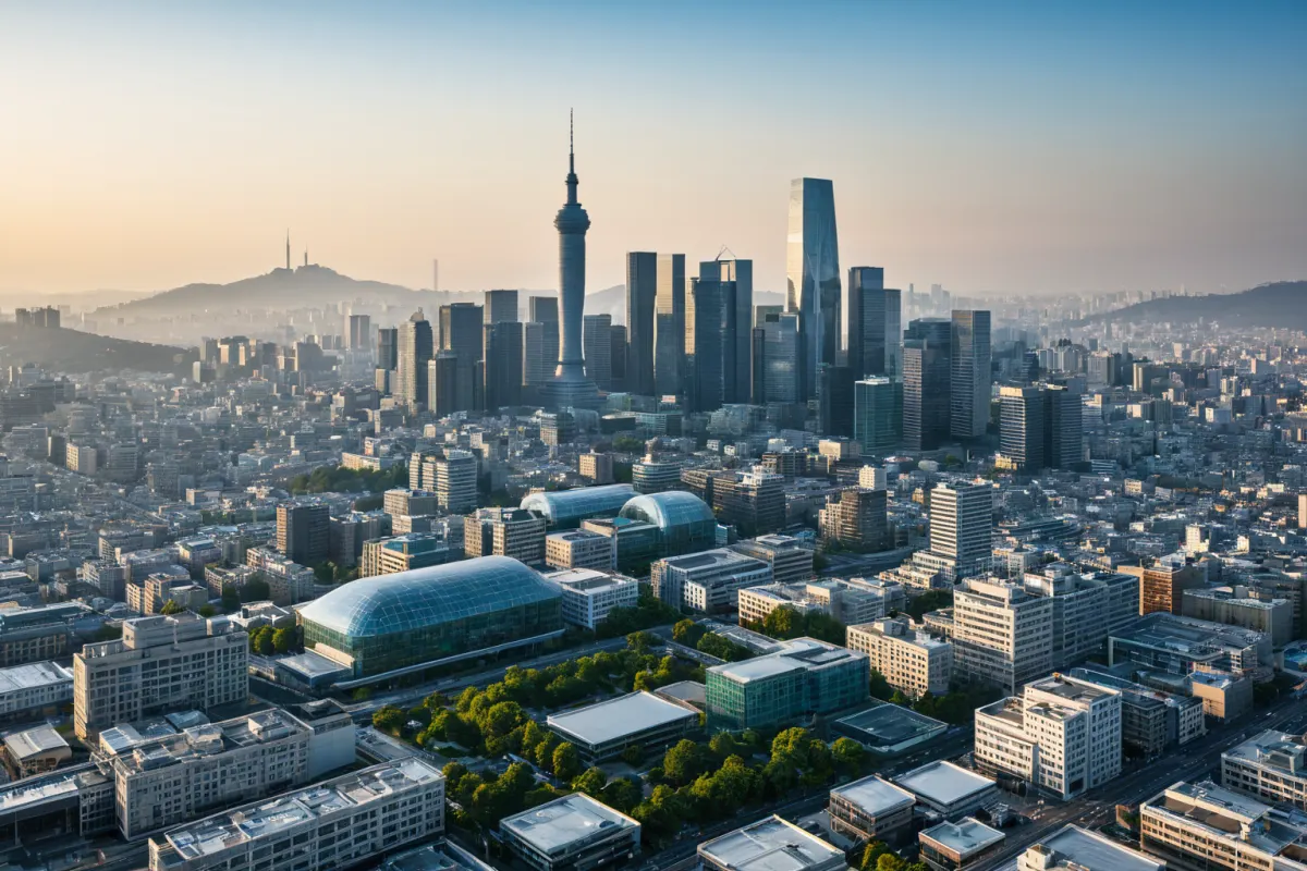
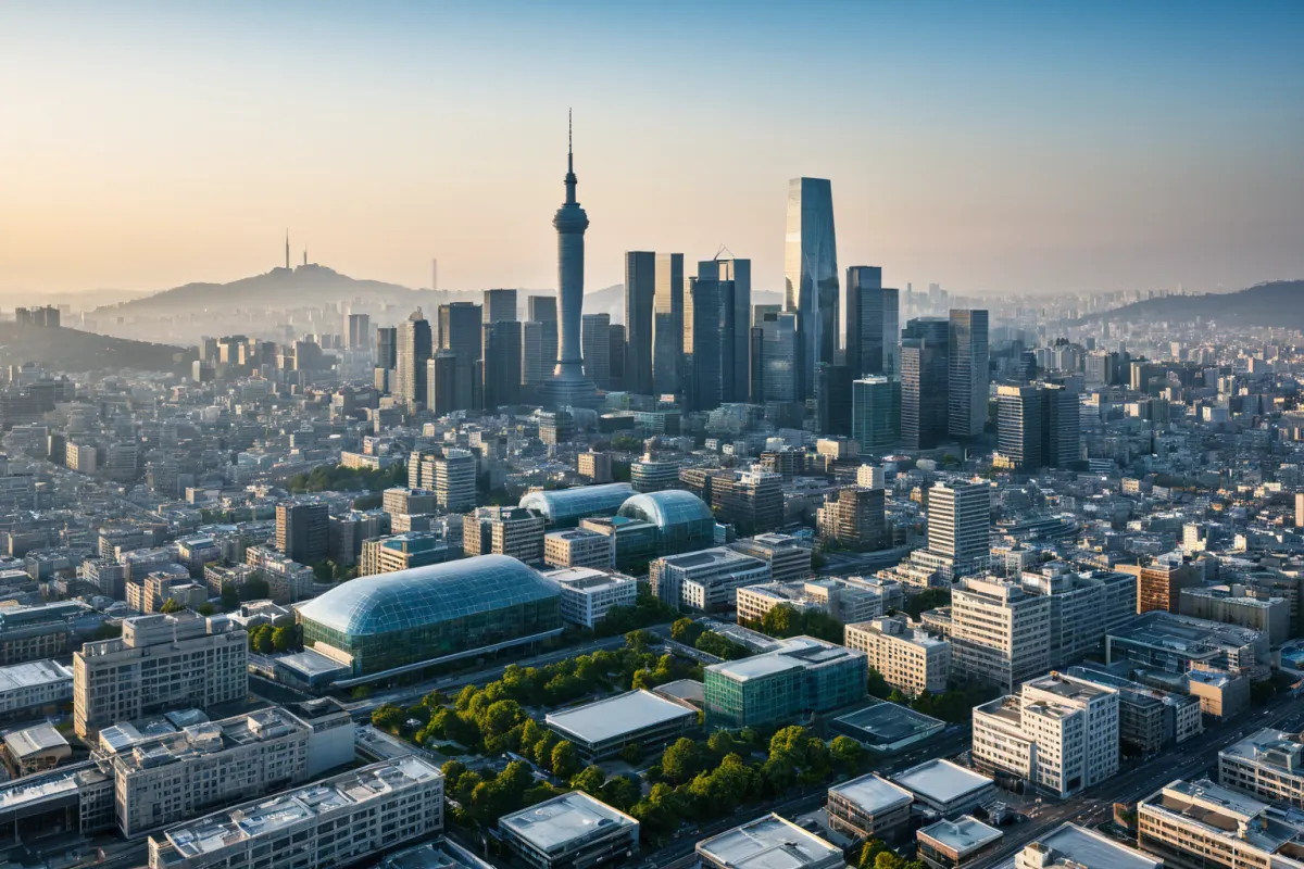
Seoul's 3D Urban Planning Maps: A New Horizon for City Development
Seoul has become the first city in South Korea to publicly release three-dimensional urban planning maps, moving beyond traditional two-dimensional plans to visualize underground and aerial structures in 3D. This innovative system allows anyone to access it via computer or mobile device, with the Miadong 'Layered Park' redevelopment project serving as its initial application.
The Meaning of 3D Maps: Transition from Flat Plans to Three Dimensions
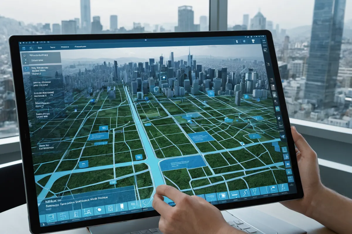
Traditional urban planning primarily used two-dimensional maps for visualization, making it difficult to understand complex information such as underground infrastructure or aerial structures. Seoul has introduced 3D maps to visualize everything from underground subway lines and utility networks to above-ground skyscrapers and landscaping in a single view.
This approach makes it easier for citizens to participate in urban planning processes while enabling more transparent decision-making. The 'Layered Park' project in Miadong, which emphasizes harmony between underground subways and upper-level buildings along with green spaces, was the first to implement this system, providing a 3D map that reflects the area's unique characteristics.
Layered Park: First Pilot Project
The 'Layered Park' project in Miadong is Seoul's first chosen example for implementing its innovative urban planning system. This project highlights the balance between underground subway systems and upper-level buildings, with 3D maps allowing citizens to directly understand the city planning details.
By using 3D visualization instead of traditional flat maps, Layered Park enables citizens to easily grasp height and structural features that would be difficult to convey through two-dimensional plans. This has led to more active discussions about urban planning and increased resident participation.
Integration with Digital Twin Platform S-Map
Seoul has connected the 3D maps with its digital twin platform 'S-Map,' which provides a virtual model based on real-time city data. This integration allows citizens to explore urban planning through the 3D maps and submit feedback directly.
This connection goes beyond simple information sharing, evolving into a participatory urban planning system where citizen input is actively incorporated. For instance, during the 'Layered Park' project in Miadong, resident feedback was immediately reflected in plan adjustments on S-Map.
Innovating Urban Planning: Enhancing Citizen Participation and Transparency
Seoul's release of 3D urban planning maps is contributing to innovation in the city's planning system. By moving beyond flat plans to 3D visualization, urban planning has become more accessible for citizens, enabling transparent decision-making.
The first application of this system through the 'Layered Park' project has led to increased citizen engagement, with residents gaining opportunities to directly influence the urban planning process. This represents a shift from simple information sharing to active participation in actual decision-making processes—a new paradigm created by Seoul's approach.
The Reason: Why Were 3D Maps Needed?
The background for Seoul's introduction of 3D maps was to overcome the limitations of traditional two-dimensional plans. Flat maps presented information in a way that made it difficult to understand complex urban structures, particularly relationships between underground infrastructure and upper-level buildings or landscape planning.
To address these challenges, Seoul introduced 3D visualization technology to create comprehensive maps covering both underground and aerial elements. This allows citizens to easily grasp the overall structure and characteristics of city planning.
Response and Safety Information: Stable Development Through Citizen Participation
The release of 3D maps serves not just as information sharing but also as a strategic approach for stable urban development. During the 'Layered Park' project in Miadong, resident feedback was immediately reflected, allowing unexpected issues to be resolved before they occurred.
For example, when residents pointed out that subway lines and buildings were too close together, the plan was adjusted to create safer, more comfortable spaces. This process increased public trust and led to positive responses toward urban development.
Information to Verify: Specific Details of 3D Map Release
In releasing the 3D maps, Seoul provided specific information about the Miadong 'Layered Park' project, visualizing underground subway lines, power grids, upper-level building layouts, and landscape planning in three dimensions for citizens to view directly.
Additionally, through the S-Map platform, real-time updates on urban planning are available at any time. This contributes to greater transparency in city planning while encouraging citizen participation.
Frequently Asked Questions
How can I use the 3D maps?
Seoul provides easy access to 3D maps through computers and mobile devices, with urban planning information available via the S-Map platform.
Why was the 'Layered Park' project chosen as the first pilot site?
'Layered Park' was selected because it requires a balance between underground and upper-level structures, making 3D maps an ideal way to help citizens understand the overall plan easily.
What functions does the S-Map platform offer?
S-Map is a virtual model based on real-time city data that works with 3D maps, allowing citizens to explore urban planning and submit feedback directly.
Frequently Asked Questions
The release of Seoul's 3D urban planning maps represents an innovation in the city's planning system. By moving beyond flat plans to 3D visualization, citizens can better understand city development. The 'Layered Park' project in Miadong was chosen as the first pilot site, and integration with S-Map has enhanced transparency and citizen participation.
This approach goes beyond simple information sharing to actively involve citizens in actual decision-making processes—a new paradigm that could serve as a model for other cities worldwide.
You can view similar articles on this topic all at once.
View Related ArticlesFAQ
How can I use the 3D maps?
Seoul provides easy access to 3D maps through computers and mobile devices, with urban planning information available via the S-Map platform.
Why was the 'Layered Park' project chosen as the first pilot site?
'Layered Park' was selected because it requires a balance between underground and upper-level structures, making 3D maps an ideal way to help citizens understand the overall plan easily.
What functions does the S-Map platform offer?
S-Map is a virtual model based on real-time city data that works with 3D maps, allowing citizens to explore urban planning and submit feedback directly.
Korean Source
This article is an English localization of a Korean-language report from BlogScore. Original: 서울시 입체도면 공개로 알아보는 도시 계획의 변화