
Seoul Unveils 3D City Planning Maps: Introducing Key Development Projects
Seoul Unveils 3D City Planning Maps: Introducing Key Development Projects
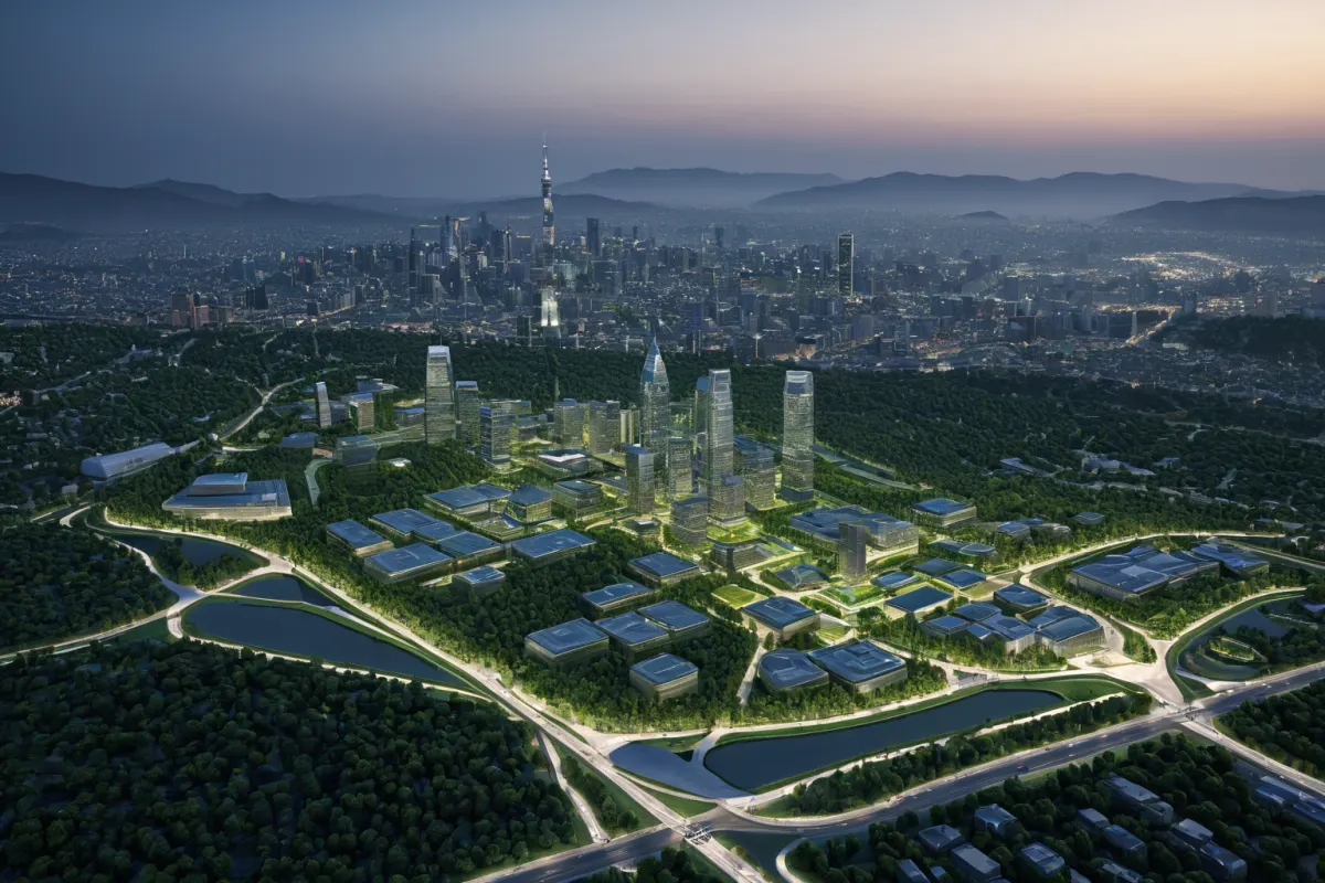
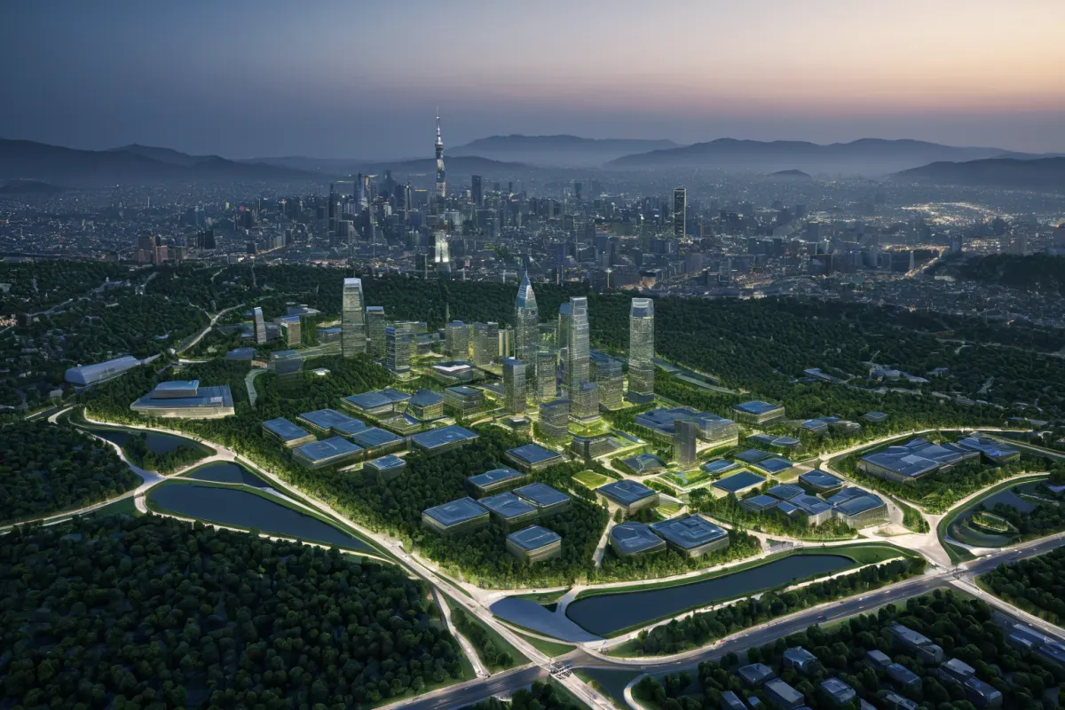
Seoul has become the first city in South Korea to publicly release three-dimensional urban planning maps, visualizing development plans in 3D rather than traditional two-dimensional blueprints. The 'Layered Park' project in Mi-a is the first initiative to implement this innovative approach.
The Significance and Key Details of Seoul's 3D City Planning Maps
To enhance transparency and public engagement in urban development, Seoul has become the first city nationwide to publicly release these 3D maps. Unlike conventional flat blueprints, the three-dimensional representation allows citizens to virtually experience the planned development sites. The 'Layered Park' project in Mi-a is the first case where this method was applied.
As reported by TBS Seoul on August 9, 2026, the city shared specific plans for the 'Layered Park' project with citizens through these 3D maps. This strategy aims to gather public feedback and encourage participation during the development process, marking an innovative shift from traditional flat blueprints to 3D visualization.
Accelerating Development in Gangnam
Urban planning approvals for areas like Seocho-dong and Cheongdam-dong in Gangnam have been rapidly approved, speeding up development. According to a report dated July 9, 2026, urban planning reviews for these districts have been passed, paving the way for accelerated development.
Seoul is implementing various policies to boost development speed in Gangnam, aiming to strengthen its position as Seoul's economic hub. In areas like Doksan-ro, a 'rapid integrated planning synergy' effect has emerged, improving project efficiency.
Seongsu-dong is set to transform into an IT, culture, and content industry cluster. As reported on June 30, 2026, the area plans to shift from its current industrial structure to a new cluster focused on IT and cultural content industries—areas Seoul views as key growth drivers for future economic development.
Testing a Mixed-Use City Model at Sangam DMC
Sangam Digital Media City (DMC) is serving as a testing ground for mixed-use city models. According to a report dated July 10, 2026, the final development phase of Sangam DMC is underway, marking an important case study for applying this experimental urban model.
Sangam DMC will be developed with a unique approach that integrates residential, office, and cultural functions—differing from traditional city development. This area is expected to become a key space for Seoul's experimentation with future urban models.
Seoul Donghyeong REITs Model Gains Momentum
The Seoul Donghyeong REITs model, where citizens invest and share profits, is gaining traction. As reported on April 22, 2026, this model was designed to allow citizens to directly participate in urban development projects.
Seoul Donghyeong REITs is more than a simple investment model—it has gained attention as a new collaborative approach where citizens and Seoul City jointly contribute to urban development. This strategy aims to democratize urban development, with potential for expansion to other areas in the future.
Accelerated Construction of 85,000 Housing Units
Seoul has announced plans to rapidly begin construction on 85,000 renovated and rebuilt housing units. This was announced on February 26, 2026, as part of a large-scale initiative to expand housing supply.
In the area around Teheran-ro in Yongsan-dong, building density for a 20-story office tower has been approved at 1,134%. This policy aims to increase urban development density and efficiency, as reported on May 1, 2026.
Strengthening Privacy Protection and Public Participation
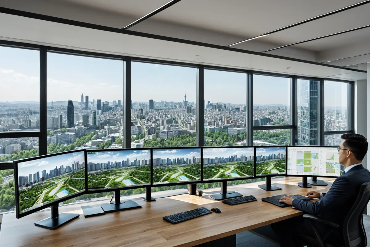
To enhance transparency in urban planning, Seoul is using the 3D maps to help citizens better understand and engage with development plans. This goes beyond simple information sharing—it provides opportunities for direct citizen participation in the actual development process.
Citizens can easily grasp specific details of urban development projects and their potential impacts through these 3D maps, increasing the likelihood that public feedback will be incorporated into future policy decisions.
Why Seoul Released 3D Maps
The decision to release 3D maps stems from citizens' distrust and lack of understanding regarding urban development plans. Traditional flat blueprints made it difficult for people to accurately visualize the city's structure and proposed changes, prompting Seoul to adopt a 3D approach.
The 'Layered Park' project in Mi-a was chosen as the first case because it prioritized citizen participation. The goal was to provide citizens with direct opportunities to offer feedback on development plans.
Response Measures and Safety Information
To enhance transparency, Seoul has implemented various strategies beyond releasing 3D maps. These efforts aim to help citizens easily understand development plans and alleviate unnecessary concerns.
The city is also making all information related to urban development publicly available to build citizen trust. This strategy goes beyond simple information sharing—it aims to ensure transparency throughout the actual development process.
Seoul has established multiple channels for gathering public feedback on urban planning, including online forums, community briefings, and individual consultations.
Key Information to Note
Urban development plans in Seoul are now publicly available through 3D maps, making it easier for citizens to understand. This approach is being applied across multiple projects, including the 'Layered Park' initiative.
Seoul's plan to rapidly begin construction on 85,000 renovated and rebuilt housing units is part of its broader strategy to expand housing supply. The development project at Teheran-ro in Yongsan-dong has also received high-density approval for building volume.
The Seoul Donghyeong REITs model is gaining attention as a new collaborative approach allowing citizens to directly participate in urban development. It is being viewed as one of Seoul's innovative policies for future urban growth.
Frequently Asked Questions
Q: Why was Seoul's 3D city planning map released?
A: To enhance transparency and encourage public participation in urban development plans, Seoul publicly released the 3D maps.
Q: Why was the 'Layered Park' project in Mi-a chosen as the first case?
A: Because the 'Layered Park' project prioritized citizen participation from the start, it became the first to use the 3D maps.
Q: What is the main focus of Seoul's plan for rapid construction of 85,000 housing units?
A: The plan aims to expand housing supply through rapid construction of renovated and rebuilt housing units across the city.
Frequently Asked Questions
The release of Seoul's 3D city planning maps represents an innovative strategy to enhance transparency and public participation in urban development. It goes beyond simple information sharing by providing citizens with direct opportunities to engage in the actual development process.
As the first project using this method, the success of the 'Layered Park' initiative will serve as a key indicator for Seoul's future urban development policies. Additionally, developments in Seocho-dong and Cheongdam-dong, along with the creation of an IT and cultural content cluster in Seongsu-dong, are expected to be central strategies for boosting Seoul's economic vitality.
Seoul plans to continue releasing urban development plans transparently and expanding public participation. This approach is poised to become a landmark policy that contributes directly to urban growth, moving beyond mere information sharing.
You can view similar articles on this topic in one place.
View Related ArticlesFAQ
Why was Seoul's 3D city planning map released?
To enhance transparency and encourage public participation in urban development plans, Seoul publicly released the 3D maps.
Why was the 'Layered Park' project in Mi-a chosen as the first case?
Because the 'Layered Park' project prioritized citizen participation from the start, it became the first to use the 3D maps.
What is the main focus of Seoul's plan for rapid construction of 85,000 housing units?
The plan aims to expand housing supply through rapid construction of renovated and rebuilt housing units across the city.
Korean Source
This article is an English localization of a Korean-language report from BlogScore. Original: 서울시 입체도면 공개: 도시 개발 계획의 주요 프로젝트 소개