
Meteorological Agency's Typhoon No. 15 Path Forecast: How Far Will It Reach?
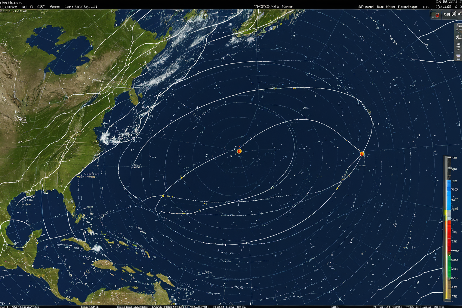
Meteorological Agency's Typhoon No. 15 Path Forecast: How Far Will It Reach?
According to the Meteorological Administration, Typhoon Chanhom (No. 15) is expected to pass east of Tokyo, Japan, and move south of Dokdo Island without directly affecting the Korean Peninsula. The typhoon's intensity development has been delayed to level two, with a forecast that it will weaken into a tropical depression within 48 hours.

Typhoon Path and Movement Speed
The Meteorological Administration forecasts Typhoon Chanhom will pass east of Tokyo, Japan, before moving south of Dokdo Island. Starting from August 10 as it passes east of Tokyo, by August 13 it is expected to move south of Dokdo. The typhoon's movement speed has slowed significantly, leading to an upward adjustment in short-term intensity forecasts.
As Typhoon Chanhom moves toward the Japanese archipelago, its path has been slightly adjusted based on observational data from the Meteorological Administration. Initial forecasts had predicted it would pass near the Korean Peninsula, but recent meteorological model analysis has revised this to a path moving east of Tokyo. This adjustment is due to the typhoon's center being deflected northeast by high pressure over the continent.
Impact Range on the Korean Peninsula
The direct impact on the Korean Peninsula is expected to be limited. Rainfall is forecast for the East Coast, with brief showers also possible in Jeju Island. The Meteorological Administration has stated that neither Typhoon Dolphin (No. 13) nor Chanhom will directly cross the Korean Peninsula.
For the southern coastal regions of Gyeongsangnam-do, scattered thunderstorms are expected between August 12 and 13. In particular, areas like Geoje and Tongyeong may experience high waves that could limit maritime activities and port operations. The Meteorological Administration has indicated a possible issuance of marine warnings due to these conditions.
Typhoon Intensity and Weakening Forecast
The intensity development of Typhoon Chanhom has been delayed to level two, with expectations it will weaken into a tropical depression within 48 hours. This suggests the typhoon's influence will gradually diminish.
The reason for the delayed intensity development is primarily due to lower sea surface temperatures. The Meteorological Administration analyzed that sea surface temperatures during Typhoon Chanhom's passage near Japan were 1-2 degrees Celsius below average, limiting the typhoon's energy supply. As a result, the central pressure has remained higher than expected, leading to a weakening trend in intensity.
Potential for Typhoon No. 17 'Nangka'
The Meteorological Administration warned of an imminent formation of Typhoon No. 17 'Nangka', which could expand rainfall on the East Coast. This additional weather event requires attention from residents in East Coast regions.
Typhoon No. 17 'Nangka' is currently forming in the Southwestern Pacific Ocean and is expected to move toward the Korean Peninsula by mid-August. The Meteorological Administration notes that while Nangka's current path appears to be heading toward the Japanese archipelago, the likelihood of direct impact on the Korean Peninsula remains low. However, if Nangka moves into the East Sea after passing Japan, expanded rainfall along the East Coast is anticipated.
Details of Typhoon No. 15 Path Forecast
The Meteorological Administration forecasts Typhoon Chanhom will pass northeast of Tokyo and approach Dokdo tomorrow, weakening into a tropical depression within 24 hours. Meanwhile, Typhoon Dolphin (No. 13) is moving west-northwest at 16 km/h.
The Korean Peninsula is positioned between two typhoons, currently experiencing meteorological effects that could expand rainfall along the East Coast. Specifically, Typhoon Dolphin has already passed over the West Coast and is not expected to significantly impact inland areas of the peninsula.
Key Facts About Typhoon Path Forecast
According to the Meteorological Administration, Typhoon Chanhom (No. 15) is expected to pass east of Tokyo before moving south of Dokdo Island. The typhoon's intensity development has been delayed to level two, with a forecast that it will weaken into a tropical depression within 48 hours.
Rainfall is forecast for the East Coast, with brief showers also anticipated in Jeju Island. The Meteorological Administration confirmed that neither Typhoon Dolphin (No. 13) nor Chanhom will directly cross the Korean Peninsula. Additionally, changes to the typhoon path are attributed to improved accuracy of meteorological models.
Response and Safety Information
Residents along the East Coast should prepare for potential rain, especially considering that maritime activities may become hazardous due to the typhoon's influence.
The Meteorological Administration has established marine warning criteria for East Coast regions, providing real-time updates every hour when rain is expected. Additionally, Jeju Island residents should be cautious as roads may become slippery due to brief showers from Typhoon Chanhom.
Key Information to Monitor
To verify the Meteorological Administration's accurate typhoon path and impact area, please monitor the following information:
- Changes in Typhoon Chanhom's movement speed (currently 15 km/h)
- Rainfall intensity and duration forecast for East Coast regions (August 12-13, scattered thunderstorms)
- Timing and path of Typhoon No. 17 'Nangka' (expected after August 15)
Latest information can be confirmed through the Meteorological Administration's official announcements.
Frequently Asked Questions
Will Typhoon Chanhom directly affect the Korean Peninsula?
No, the Meteorological Administration has stated that Typhoon Chanhom will pass east of Tokyo and move south of Dokdo Island without directly crossing the Korean Peninsula.
Will there be rain on the East Coast?
Yes, the Meteorological Administration forecasts rainfall for the East Coast regions. Brief showers are also expected in Jeju Island.
Why is Typhoon No. 17 'Nangka' imminent?
The Meteorological Administration warned that the formation of Typhoon No. 17 'Nangka' is imminent, which could expand rainfall on the East Coast.
You can view similar articles all at once.
View Related ArticlesFAQ
Will Typhoon Chanhom directly affect the Korean Peninsula?
No, the Meteorological Administration has stated that Typhoon Chanhom will pass east of Tokyo and move south of Dokdo Island without directly crossing the Korean Peninsula.
Will there be rain on the East Coast?
Yes, the Meteorological Administration forecasts rainfall for the East Coast regions. Brief showers are also expected in Jeju Island.
Why is Typhoon No. 17 'Nangka' imminent?
The Meteorological Administration warned that the formation of Typhoon No. 17 'Nangka' is imminent, which could expand rainfall on the East Coast.
Korean Source
This article is an English localization of a Korean-language report from BlogScore. Original: 기상청 태풍 15호 경로 예보: 어디까지 영향이 미칠까?