
How to Navigate Traffic Control During Heavy Rains in Gyeonggi and Incheon
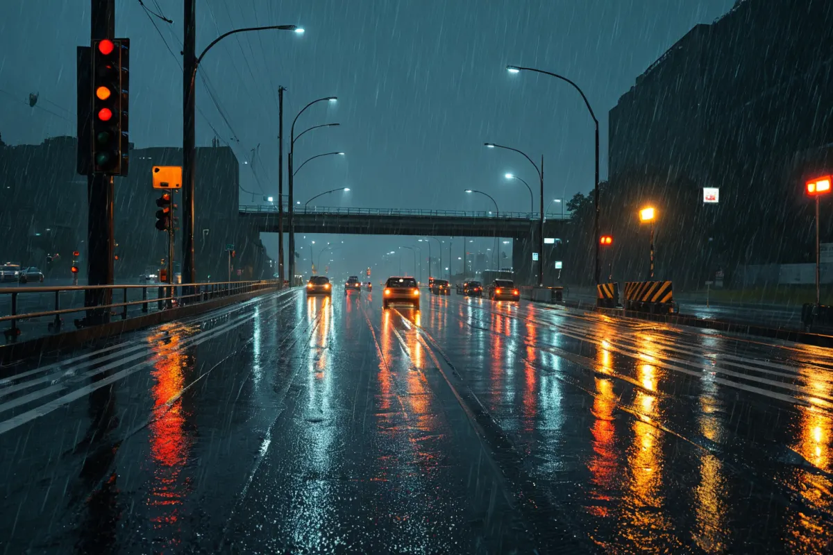
When heavy rain hits Gyeonggi and Incheon, the first thing to check is which areas are under traffic control and what detour options are available. Heavy rainfall can cause road flooding, poor drainage, and reduced visibility, making familiar routes suddenly blocked. It's crucial to check for controls before departing and plan an alternative route if a section is closed.
Especially during rush hours, even minor congestion can quickly worsen, so it's important to know both "where the control zones are" and "which direction to take for detours." Traffic control during heavy rain isn't just about roads being blocked—it means vehicle flow has been redirected for safety reasons.
Criteria for Gyeonggi-Incheon Heavy Rain Traffic Control
Traffic control during heavy rain typically occurs due to road flooding, river overflow risks, landslide dangers, and the possibility of underground tunnels filling with water. Low-lying areas, especially underground tunnels and roads near rivers, are prioritized for control.
Since conditions vary by location, not all of Gyeonggi is affected—often only specific cities or districts face restrictions. For example, coastal and lowland areas in Incheon may flood quickly, while some northern Gyeonggi sections might be controlled due to water runoff from slopes.
The most common control methods seen on-site are full blockage, partial lane control, and detour guidance. Full blockage means no entry is allowed, while partial control can significantly slow traffic, increasing travel time compared to normal conditions.
You can view similar articles on this topic in one place.
View Related ArticlesSteps to Check Detour Routes
The key to detours is finding a route that bypasses the blocked section and connects directly, rather than taking a longer path. Before departure, check real-time traffic info on your navigation system and avoid routes marked as controlled.
For example, if Incheon drivers heading toward Seoul encounter congestion on part of the First Ring Expressway, it might be faster to take an alternate expressway in the opposite direction rather than a shorter-looking regular road. Similarly, Gyeonggi drivers should mix national and regional roads effectively.
In practice, follow these steps:
- Check if there are any flooded areas between your origin and destination
- Compare multiple detour options shown on navigation
- Avoid underground tunnels and riverbank roads
- If congestion is severe, consider switching to public transport
Characteristics of High-Flood Risk Areas
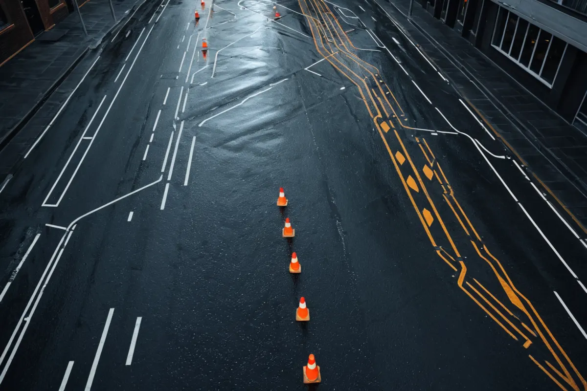
Commonly blocked areas during Gyeonggi-Incheon heavy rain share certain features: low terrain, poor drainage systems, and structures prone to water accumulation. These spots often take longer to drain than the rain is falling.
Another important point: some roads that seem fine on dry days become blocked during rain due to sudden puddles. This can cause vehicles to stop or lead to chain-reaction congestion as cars slow down in front of you.
During rain, it's hard to see lane markings clearly as water obscures boundaries, and judging the depth of standing water is difficult. It's safer to take a detour than risk driving through flooded roads.
Detour Tips for Rush Hours
During rush hours, the shortest route isn't always the fastest during heavy rain. A single blockage can combine with traffic light delays and merging congestion, causing much longer travel times than expected.
For example, a 20-minute commute that normally takes 20 minutes might take an additional 10 minutes when underground tunnel control is in place. Taking a detour to a nearby regular road could result in a more stable overall arrival time. Conversely, trying to go through the controlled section and then turning around wastes even more time.
It's best to think of the closest alternative access point to your destination. If heading to a fixed location like work or school, save secondary and tertiary entry points as alternatives to your usual route.
Safety Tips for Drivers
Simply slowing down isn't enough during heavy rain. Avoid sudden braking, and maintain extra distance from the car ahead in water-splashing areas since tire traction decreases easily with even minor impacts.
Nighttime is especially dangerous. Rainwater can reflect light, making it seem like objects are closer than they are, and lane markings may appear broken. In such conditions, prioritize looking at the road signs and your forward view over navigation screens.
If your vehicle begins to flood, avoid restarting the engine—it can cause further damage to the engine and electrical systems. Move to a safe location as soon as possible and call for assistance.
Common Misunderstandings in Real Situations
Many people confuse "controlled zones" with "congested zones." During heavy rain, these are different: controlled means entry is difficult or impossible, while congested means vehicles move slowly but still progress.
Another misunderstanding is that detour routes are always the best option. Detours through low-lying areas can quickly become blocked too, and busy regular roads with many traffic lights may slow down further as cars gather. So after taking a detour, it's wise to check traffic flow again in the middle of your journey.
For example, if coastal expressways are blocked while traveling from Incheon to southern Gyeonggi, entering inner city streets might actually delay you more. Instead, choose roads with fewer intersections and steady traffic flow for better results.
Key Points to Check During Heavy Rain Traffic Control
When checking for heavy rain traffic control in Gyeonggi-Incheon, don't just look at "under control"—also check the location and expected release time. Whether it directly affects your route or is detour-friendly will determine how you respond.
Also, remember that road and pedestrian controls might be separate even for the same area. If walking is part of your journey, verify surrounding conditions too. It's common to plan only for vehicle travel but find access points blocked anyway.
It's a good habit to double-check 10 minutes before departure. Heavy rain conditions can change quickly, so information seen in the morning might not be valid later.
FAQ
Q1: Where do traffic control zones usually appear first during heavy rain?
A: Typically underground tunnels, roads near rivers, and low-lying areas. These spots are prioritized for control as they flood easily.
Q2: Is relying on navigation alone sufficient for detour routes?
A: Navigation is helpful but real-time conditions matter more during heavy rain. If a controlled zone appears, check current road status before following navigation prompts.
Q3: Can you safely enter an area right after traffic control is lifted?
A: Not immediately—road surfaces may still be wet or have residual water. Slow down and observe surrounding traffic flow even on short distances.
Heavy rain road controls can change quickly based on local conditions, so it's best to check the latest traffic information before heading out.
Continue exploring similar topics.
View Category ArticlesFAQ
Where do traffic control zones usually appear first during heavy rain?
Typically underground tunnels, roads near rivers, and low-lying areas. These spots are prioritized for control as they flood easily.
Is relying on navigation alone sufficient for detour routes?
Navigation is helpful but real-time conditions matter more during heavy rain. If a controlled zone appears, check current road status before following navigation prompts.
Can you safely enter an area right after traffic control is lifted?
Not immediately—road surfaces may still be wet or have residual water. Slow down and observe surrounding traffic flow even on short distances.
Korean Source
This article is an English localization of a Korean-language report from BlogScore. Original: 경기 인천 호우 교통 통제 구간과 우회 방법 정리