
How to Easily Understand Landslide Risk Maps in South Korea
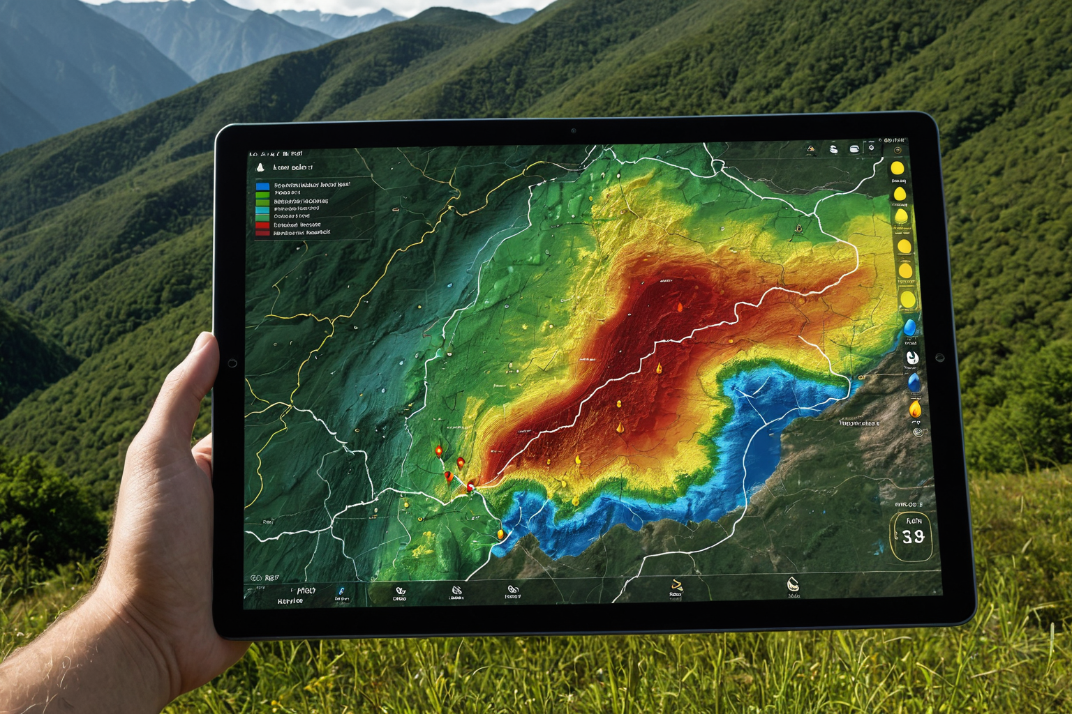
How to Check Landslide Risk Maps
Landslide risk maps are updated annually to reflect the latest terrain and forest data, with recent services expanding to border areas by incorporating rainfall information. Seoul City previously noted a decline in effectiveness due to outdated data from 4–5 years ago, and an incident involving a high-risk (level 1) apartment slope in Gyeje that was excluded from management zones sparked controversy. Daegu City and Eunpyeong District have been conducting vulnerability checks and resident evacuation drills ahead of rainy seasons as practical response measures.
Current Status and Improvements to Landslide Risk Maps
The National Institute of Forest Science has expanded its rainfall-reflecting landslide risk service to border areas, while the Forest Service updates risk maps annually using current terrain and forest data. However, Seoul City highlighted concerns about outdated data reducing effectiveness, and a case in Gyeje where a level 1 risk slope was excluded from management zones led to post-event debate. The Kyunggi Research Institute has recommended building AI-based risk maps and establishing dedicated ordinances, while the National Institute of Forest Science is actively expanding its rainfall-reflecting service to border regions.
Real Cases and Response Strategies
Daegu City conducted on-site evacuation education at 183 landslide-prone areas, and Eunpyeong District carried out intensive safety inspections at 47 vulnerable sites ahead of the rainy season. The Kyunggi Research Institute recommended AI-based risk maps and dedicated ordinances, noting that landslide risks in areas affected by wildfires are 200 times higher than normal, making evacuation essential during heavy rain. Additionally, issues with inadequate equipment and systems were noted during the 2025 National Audit, prompting calls for improvements.
In Gimcheon Yanggeum-dong, neighborhood associations conducted landslide prevention education focusing on preparation for heavy rains and typhoons. Changnyeong County operated a landslide response center from May 15 to October 15 to monitor situations and establish rapid response systems. Hongseong County in Chungcheongnam-do held joint civil-government evacuation drills, while Daegu Metropolitan City conducted education for 1,830 people across 183 locations. These localized response strategies are contributing to reduced landslide risks.
FAQ
Where can I check landslide risk maps?
The National Institute of Forest Science provides a rainfall-reflecting landslide risk service, expanded to border areas. Seoul City has noted issues with outdated data affecting effectiveness.
Why is evacuation necessary during landslides?
Areas affected by wildfires have 200 times higher landslide risks than normal, making evacuation essential during heavy rain. Actual conditions may differ from risk maps during extreme weather.
How is Daegu City responding to landslide risks?
Daegu conducts on-site evacuation education at 183 high-risk areas and prevention training through neighborhood associations in Gimcheon Yanggeum-dong, along with civil-government joint drills.
Korean Source
This article is an English localization of a Korean-language report from BlogScore. Original: 산사태 위험도를 쉽게 파악하는 지도 활용법