
Gyeongnam's Southern Coast Flood Situation: How to Find Safety Shelters
Gyeongnam Southern Coast Heavy Rain Situation
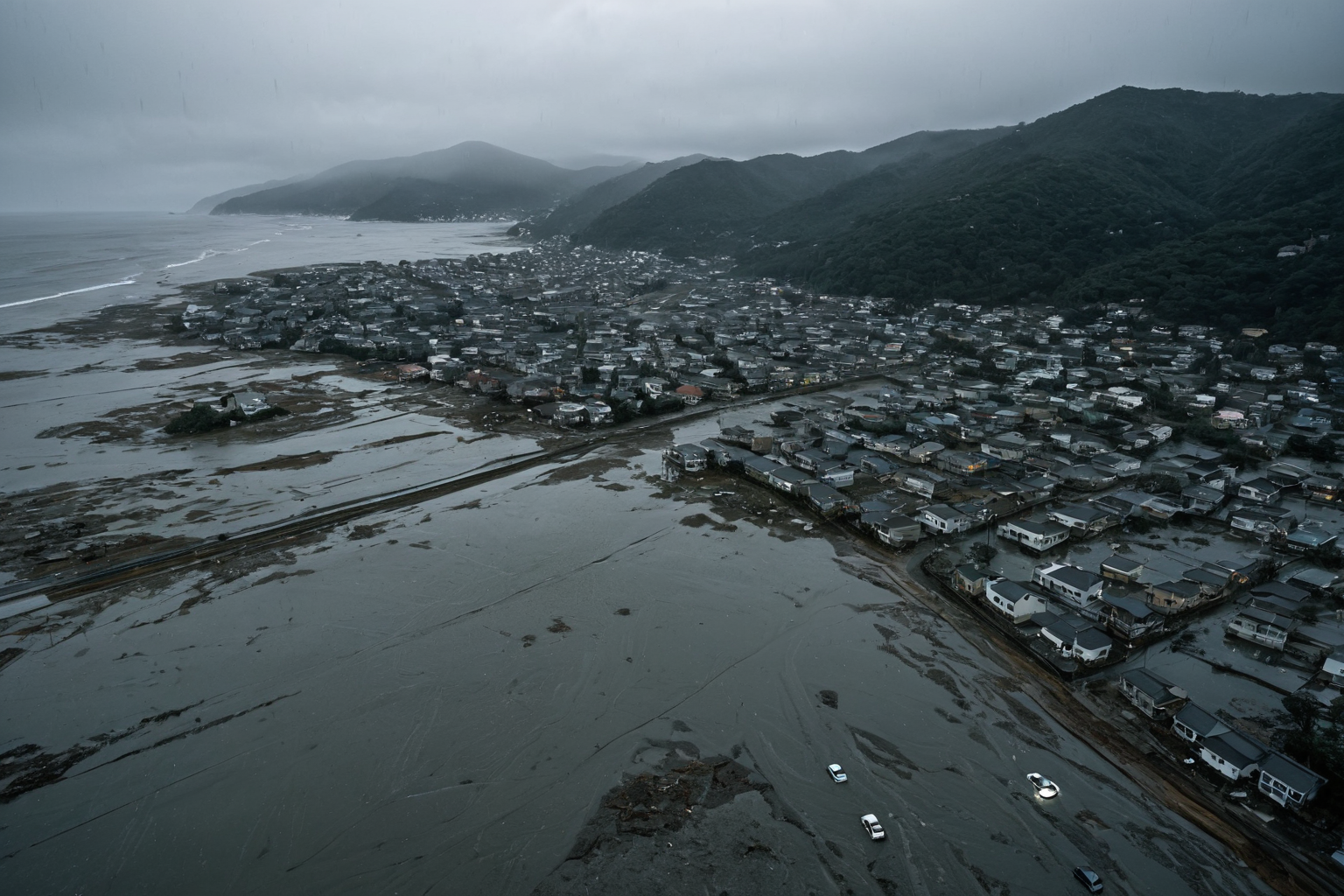
In Gyeongnam's southern coastal area, particularly in Geoje and Tongyeong, extreme rainfall with a '200-year frequency' caused 956mm (Geoje) and 766mm (Tongyeong) of rain. This led to landslides and flooding, resulting in one death, two rescues, and 245 displaced residents.
Flood Damage Situation
In Geoje's Okpo-dong, apartment flooding from a landslide caused one death and two rescues. In Tongyeong and Geoje, urban flooding and landslides led to large numbers of displaced residents.
The Forest Service raised landslide warnings in five southern regions to 'Caution,' while Gyeongnam Province is advancing legislation to improve disaster shelter systems. Specifically, the Forest Service has upgraded landslide warnings for five southern cities (Geoje, Tongyeong, Changwon, Jinju, Yangsan) to 'Caution' after this incident.
Incident Details
Extreme rainfall with a '200-year frequency' began in Geoje and Tongyeong on August 17, 2026. On that day, Geoje recorded 956mm and Tongyeong 766mm of precipitation, causing landslides and flooding.
On the afternoon of August 17, a landslide occurred in Okpo-dong, Geoje, leading to apartment flooding with one fatality and two rescues. A total of 245 displaced residents were reported, and Gyeongnam Province announced living stability support measures.
From August 17-19, Geoje recorded a total of 780mm of rainfall over three days. This exceeds the '200-year frequency' threshold, showing an extremely rare weather event compared to historical meteorological data.
The Central Disaster Management Headquarters activated Level 1 emergency response on August 18, with the National Land Safety Administration and Korea Education Facilities Safety Agency conducting on-site inspections and recovery support. Specifically, the National Land Safety Administration deployed over 30 experts to inspect ground stability and slope safety in Geoje and Tongyeong for urgent measures.
Disaster Response Measures
Gyeongnam Province is advancing legislation to improve disaster shelter systems, aiming to clarify evacuation order procedures to shorten response times. The legislative process will include gathering resident feedback to build a more practical evacuation system.
The Central Disaster Management Headquarters activated Level 1 emergency response, with the government and local authorities focusing on on-site inspections and recovery support. The Forest Service raised landslide warnings in southern regions to 'Caution,' while Geoje and Tongyeong recorded 780mm of rainfall.
The Korea Education Facilities Safety Agency conducted inspections and recovery support at affected schools, while the National Land Safety Administration carried out emergency ground and slope inspections. Specifically, the Korea Education Facilities Safety Agency completed structural safety inspections for over 30 schools in Geoje and Tongyeong, with 15 currently undergoing repairs.
The Ministry of Security and Public Administration is providing additional resources to Gyeongnam Province to accelerate recovery efforts in affected areas. Additionally, the government is preparing special compensation funds to cover damages from the heavy rains.
How to Check Safety Shelter Locations
Gyeongnam Province is advancing legislation for improved disaster shelter systems, but current methods to check safety shelter locations are as follows:
1. Click 'Disaster Shelters' tab on Gyeongnam Province's official website to view location by region.
2. Call the 119 Rescue Safety Center to request shelter location information.
3. Visit local community centers for current shelter status updates.
4. Download the 'Gyeongnam Disaster Information' app on your smartphone to check real-time shelter locations. This official free app was developed by Gyeongnam Province for residents' safety.
Key Information to Check
The flooding in Gyeongnam's southern coast resulted from a '200-year frequency' extreme rainfall event, causing 956mm (Geoje) and 766mm (Tongyeong) of precipitation. Landslides and flooding occurred as a result.
The government and local authorities have activated Level 1 emergency response through the Central Disaster Management Headquarters, providing shelter location information. Updates on displaced resident support and disaster evacuation system improvements will be provided regularly.
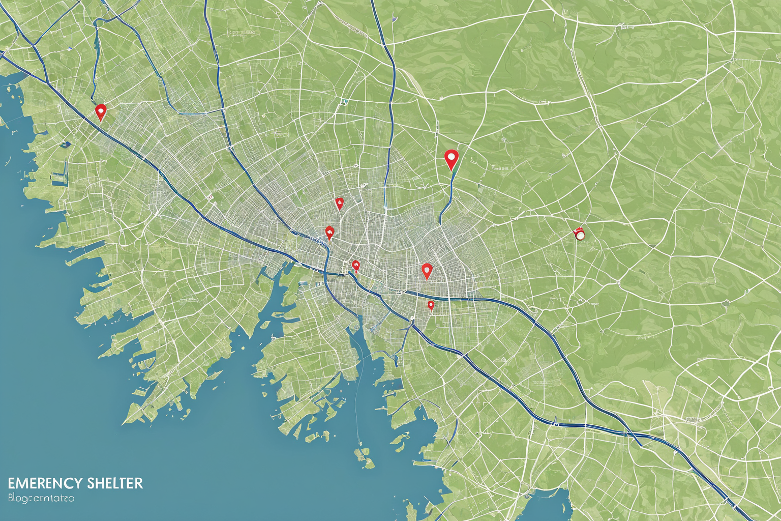
Below are currently available shelter locations:
1. Geoje City Hall: 100 Jinmok-ro, Geoje-si
2. Tongyeong City Hall: 100 Jungang-ro, Tongyeong-si
3. Namhae County Office: 50 Sanyang-ro, Sanyang-eup, Namhae-gun
4. Geoje Education Support Center: 200 Munhwa-ro, Geoje-si
5. Tongyeong Education Support Center: 300 Jungang-ro, Tongyeong-si
Frequently Asked Questions
How can I find the location of safety shelters?
You can check shelter locations by clicking the 'Disaster Shelters' tab on Gyeongnam Province's official website, calling the 119 Rescue Safety Center, or downloading the free smartphone app 'Gyeongnam Disaster Information' for real-time updates.
What is the scale of damage from the heavy rain?
Extreme rainfall of 956mm in Geoje and 766mm in Tongyeong caused landslides and flooding, resulting in one death, two rescues, and 245 displaced residents.
What measures is Gyeongnam Province taking to improve disaster evacuation systems?
Gyeongnam Province is advancing legislation to clarify evacuation order procedures with the goal of shortening response times. The province plans to build a more practical system by gathering resident feedback during the legislative process.
You can view similar articles all at once.
View Related ArticlesFAQ
How can I find the location of safety shelters?
Check Gyeongnam Province's website 'Disaster Shelters' tab, call 119 Rescue Safety Center, or download the free 'Gyeongnam Disaster Information' app for real-time updates.
What is the scale of damage from the heavy rain?
Geoje recorded 956mm and Tongyeong 766mm of rainfall, causing landslides and flooding with one death, two rescues, and 245 displaced residents.
What measures is Gyeongnam Province taking to improve disaster evacuation systems?
Gyeongnam is advancing legislation to clarify evacuation procedures and shorten response times, incorporating resident feedback for a practical system.
Korean Source
This article is an English localization of a Korean-language report from BlogScore. Original: 경남 남해안 집중호우 현황, 안전 대피소 위치 확인 방법